Transport Functions
Port
Road
Hub Profile
Place type
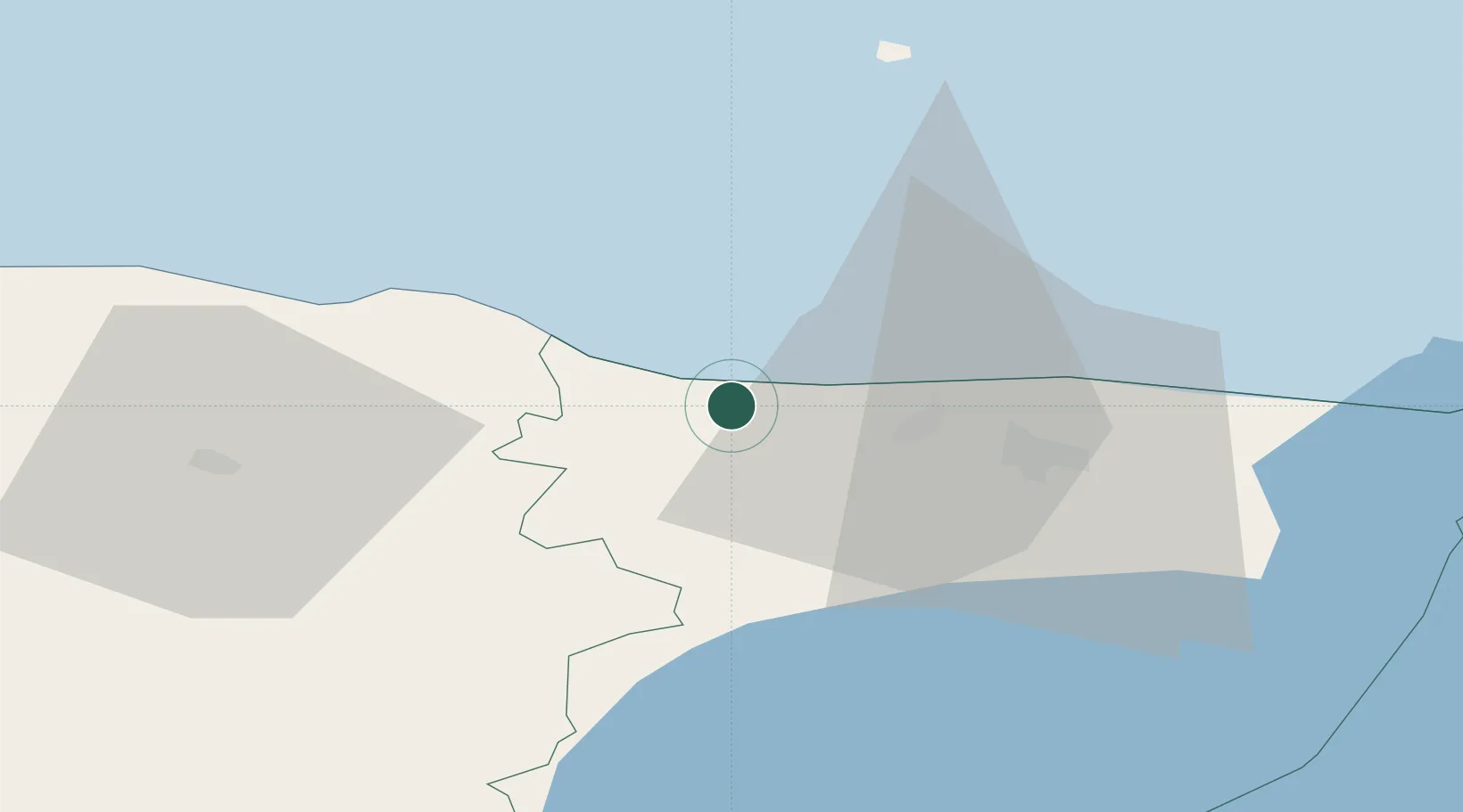
Populated place
Region
Ida-Virumaa
Population
298
Time zone
Europe/Tallinn
Elevation
35 m
Location
Nearby Logistics Neighbours
Cities
- 1Purtse Jahisadam2 km
- 2Purtse Kalasadam2 km
- 3Püssi8 km
- 4Aseri8 km
- 5Aseri Väikesadam8 km
Airports
- 1Smuravyovo Air Base88 km
- 2Helsinki East-Redstone Aerodrome120 km
- 3Lennart Meri Tallinn Airport123 km
- 4Tartu Airport125 km
- 5Tallinn Linnahall Heliport127 km
Trade Zones
- 1Port of Sillamäe41 km
- 2Muuga Free Zone114 km
- 3Port of Hamina-Kotka117 km
- 4Paldiski Free Zone166 km
- 5St Petersburg Technology Innovative Special Economic Zone175 km
DatabookThe Record of Consolidated Knowledge
Estonia beyond logistics?