Transport Functions
Port
Hub Profile
Region
45
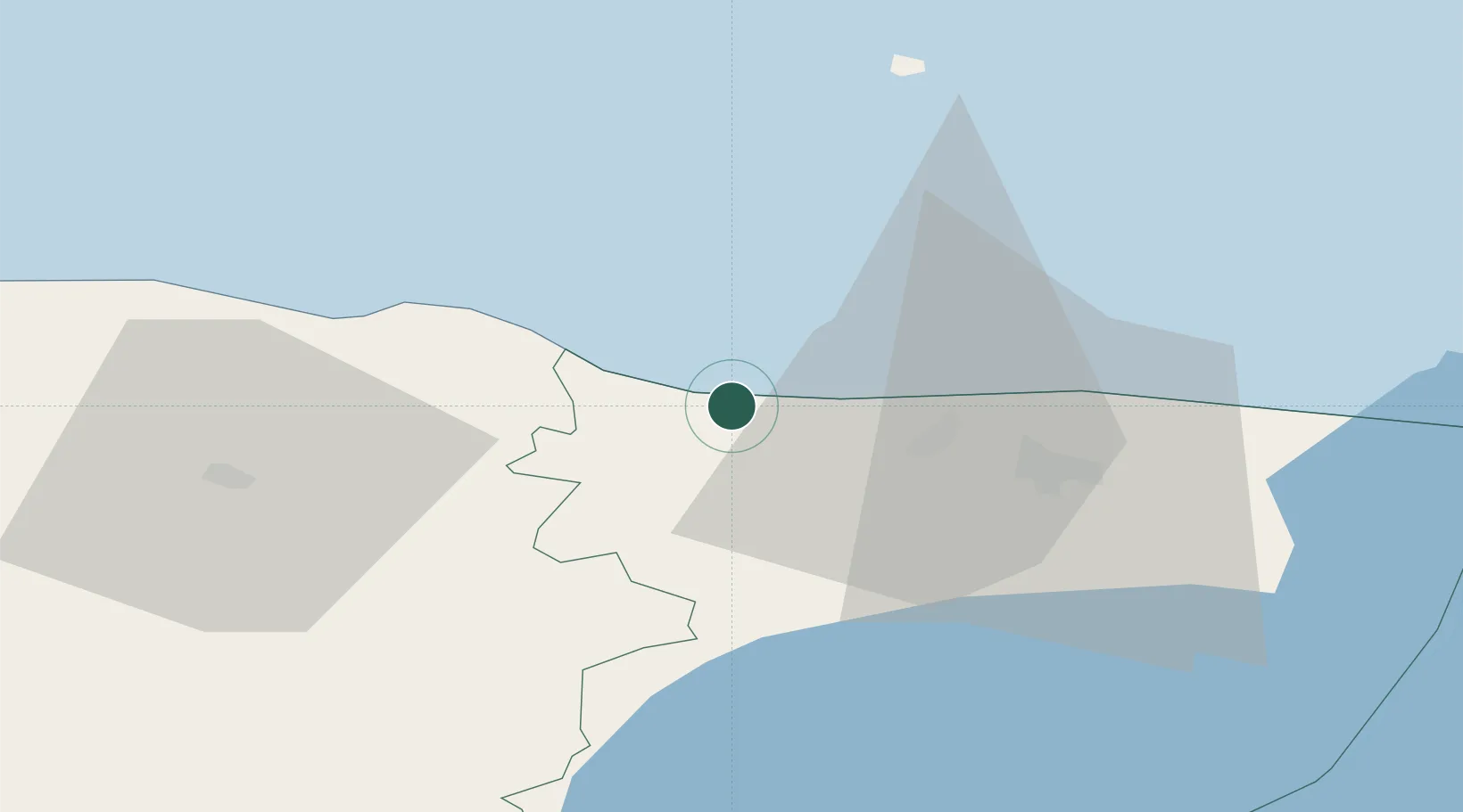
Location
Nearby Logistics Neighbours
Cities
- 1Purtse Kalasadam0 km
- 2Purtse2 km
- 3Aseri7 km
- 4Aseri Väikesadam7 km
- 5Püssi10 km
Airports
- 1Smuravyovo Air Base91 km
- 2Helsinki East-Redstone Aerodrome118 km
- 3Lennart Meri Tallinn Airport122 km
- 4Tallinn Linnahall Heliport126 km
- 5Tartu Airport126 km
Trade Zones
- 1Port of Sillamäe42 km
- 2Muuga Free Zone113 km
- 3Port of Hamina-Kotka115 km
- 4Paldiski Free Zone165 km
- 5St Petersburg Technology Innovative Special Economic Zone176 km
DatabookThe Record of Consolidated Knowledge
Estonia beyond logistics?