UN/LOCODE hub · Estonia
EEMAN

Manilaiu

59.2167°, 24.1333°
1
Transport functions

Transport Functions

Port
UN/LOCODE

Hub Profile

Region
68
GeoNames

Location

Location of EEMAN
Natural Earth 10m (public domain) · 68 · EEMAN · 59.22, 24.13GoogleOSMYandex

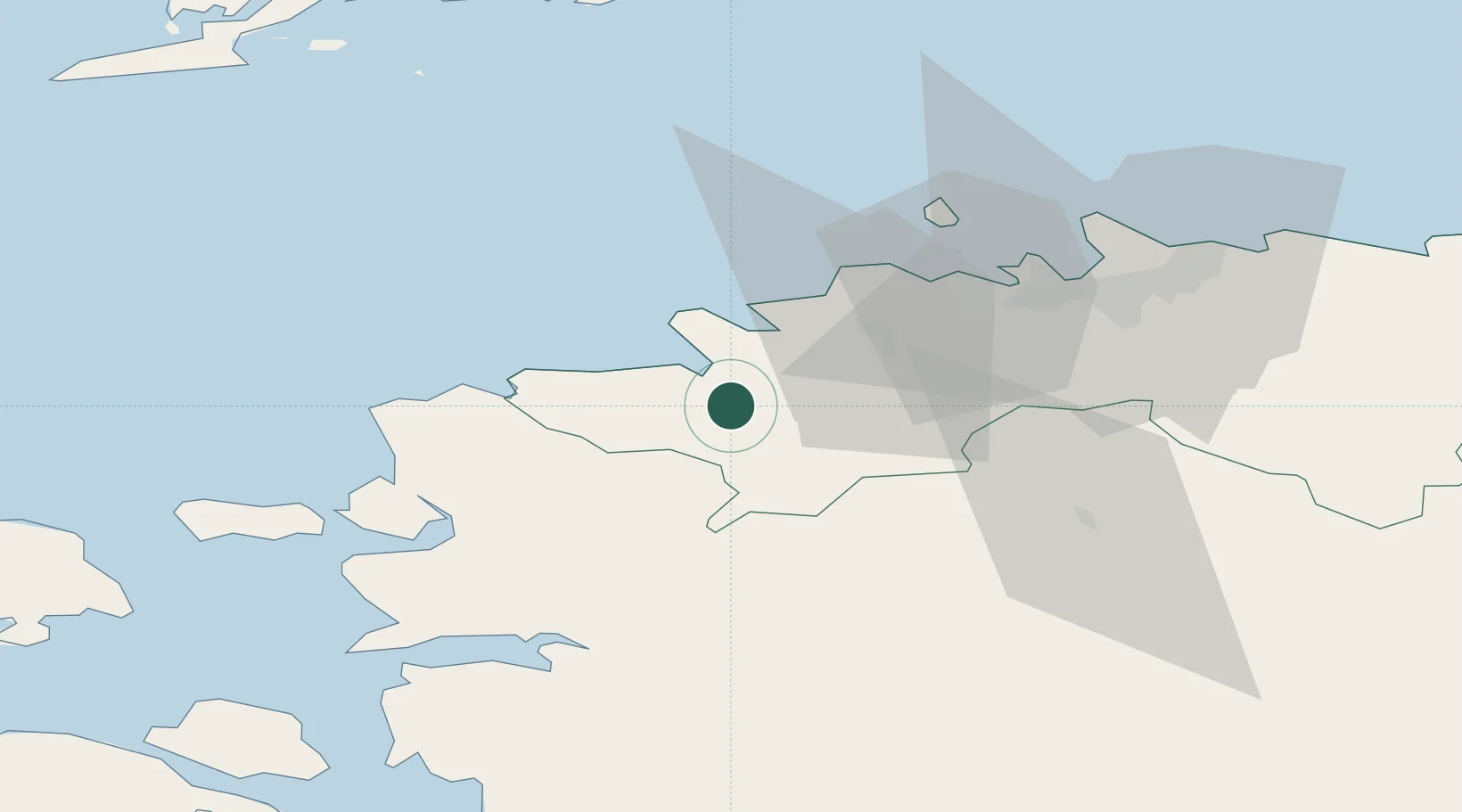
Nearby Logistics Neighbours

Cities
  1. 1Kurkse9 km
  2. 2Paldiski Lõunasadam13 km
  3. 3Paldiski16 km
  4. 4Paldiski Põhjasadam16 km
  5. 5Keila19 km
Nearest neighbours — logibook spatial index (haversine) over the source coordinates
Ports
  1. 1Paldiski Lounasadam13 km
  2. 2Paldiski Pohjasadam16 km
  3. 3Vene-Balti40 km
  4. 4Meeruse40 km
  5. 5Bekkeri40 km
Nearest neighbours — logibook spatial index (haversine) over the source coordinates
Airports
  1. 1Ämari Air Base6 km
  2. 2Tallinn Linnahall Heliport44 km
  3. 3Lennart Meri Tallinn Airport45 km
  4. 4Kärdla Airport79 km
  5. 5Pärnu Airport91 km
Nearest neighbours — logibook spatial index (haversine) over the source coordinates
Trade Zones
  1. 1Paldiski Free Zone14 km
  2. 2Muuga Free Zone51 km
  3. 3Freeport of Hanko98 km
  4. 4Turku Free Zone174 km
  5. 5Port of Sillamäe205 km
Nearest neighbours — logibook spatial index (haversine) over the source coordinates
DatabookThe Record of Consolidated Knowledge
Estonia beyond logistics?
Browse databook

All Sources

LocationsUN/LOCODE
UN/LOCODE — free
Portsthe NGA World Port Index
Public domain (US gov)
AirportsOurAirports
Public domain
Trade Zonesthe World Bank SEZ database
CC BY 4.0
Trade ZonesOpen Zone Map
CC BY
← Estonia locations