UN/LOCODE hub · Estonia
EEVLR

Valmeranna

58.5000°, 23.2333°
1
Transport functions

Transport Functions

Port
UN/LOCODE

Hub Profile

Region
74
GeoNames

Location

Location of EEVLR
Natural Earth 10m (public domain) · 74 · EEVLR · 58.50, 23.23GoogleOSMYandex

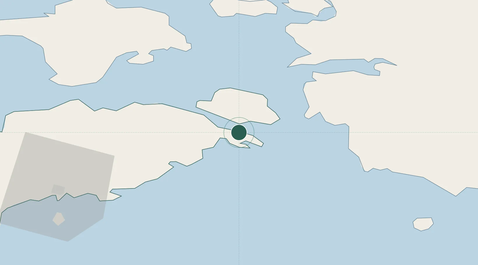
Nearby Logistics Neighbours

Cities
  1. 1Lõpesuu3 km
  2. 2Pae Sadam3 km
  3. 3Kaldu6 km
  4. 4Lõunaranna6 km
  5. 5Uisusadam10 km
Nearest neighbours — logibook spatial index (haversine) over the source coordinates
Ports
  1. 1Virtsu18 km
  2. 2Heltermaa42 km
  3. 3Rohukula47 km
  4. 4Roomassaare53 km
  5. 5Saaremaa sadam58 km
Nearest neighbours — logibook spatial index (haversine) over the source coordinates
Airports
  1. 1Kuressaare Airport52 km
  2. 2Kärdla Airport59 km
  3. 3Pärnu Airport73 km
  4. 4Ruhnu Airfield80 km
  5. 5Ämari Air Base101 km
Nearest neighbours — logibook spatial index (haversine) over the source coordinates
Trade Zones
  1. 1Paldiski Free Zone105 km
  2. 2Muuga Free Zone135 km
  3. 3Freeport of Hanko149 km
  4. 4Free port of Ventspils159 km
  5. 5Free Port of Riga179 km
Nearest neighbours — logibook spatial index (haversine) over the source coordinates
DatabookThe Record of Consolidated Knowledge
Estonia beyond logistics?
Browse databook

All Sources

LocationsUN/LOCODE
UN/LOCODE — free
Portsthe NGA World Port Index
Public domain (US gov)
AirportsOurAirports
Public domain
Trade Zonesthe World Bank SEZ database
CC BY 4.0
Trade ZonesOpen Zone Map
CC BY
← Estonia locations