UN/LOCODE hub · Estonia
EELNR

Lõunaranna

58.5333°, 23.3167°
1
Transport functions

Transport Functions

Port
UN/LOCODE

Hub Profile

Region
74
GeoNames

Location

Location of EELNR
Natural Earth 10m (public domain) · 74 · EELNR · 58.53, 23.32GoogleOSMYandex

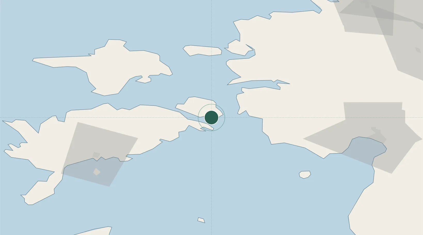
Nearby Logistics Neighbours

Cities
  1. 1Kuivastu5 km
  2. 2Valmeranna6 km
  3. 3Lõpesuu6 km
  4. 4Pae Sadam6 km
  5. 5Kaldu10 km
Nearest neighbours — logibook spatial index (haversine) over the source coordinates
Ports
  1. 1Virtsu12 km
  2. 2Heltermaa40 km
  3. 3Rohukula42 km
  4. 4Roomassaare59 km
  5. 5Saaremaa sadam63 km
Nearest neighbours — logibook spatial index (haversine) over the source coordinates
Airports
  1. 1Kuressaare Airport58 km
  2. 2Kärdla Airport58 km
  3. 3Pärnu Airport68 km
  4. 4Ruhnu Airfield83 km
  5. 5Ämari Air Base96 km
Nearest neighbours — logibook spatial index (haversine) over the source coordinates
Trade Zones
  1. 1Paldiski Free Zone99 km
  2. 2Muuga Free Zone129 km
  3. 3Freeport of Hanko146 km
  4. 4Free port of Ventspils165 km
  5. 5Free Port of Riga181 km
Nearest neighbours — logibook spatial index (haversine) over the source coordinates
DatabookThe Record of Consolidated Knowledge
Estonia beyond logistics?
Browse databook

All Sources

LocationsUN/LOCODE
UN/LOCODE — free
Portsthe NGA World Port Index
Public domain (US gov)
AirportsOurAirports
Public domain
Trade Zonesthe World Bank SEZ database
CC BY 4.0
Trade ZonesOpen Zone Map
CC BY
← Estonia locations