Transport Functions
Rail
Road
Hub Profile
Place type
Provincial seat
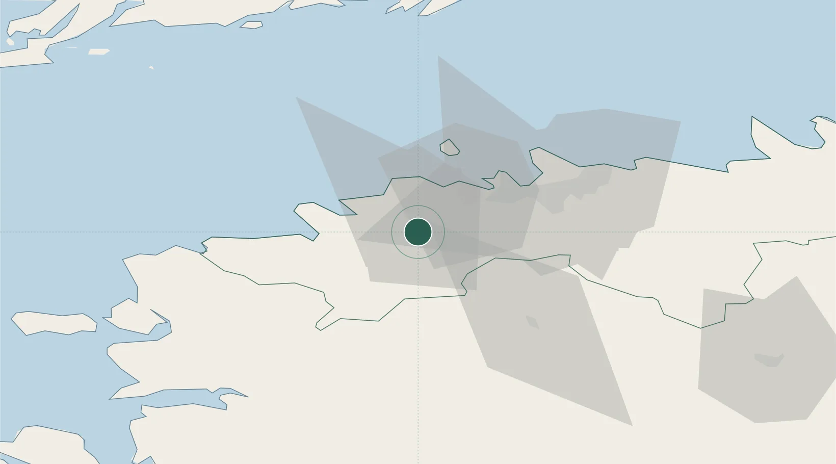
Region
Harjumaa
Population
10,068
Time zone
Europe/Tallinn
Elevation
41 m
Location
Nearby Logistics Neighbours
Ports
- 1Paldiski Lounasadam19 km
- 2Paldiski Pohjasadam22 km
- 3Vene-Balti22 km
- 4Meeruse22 km
- 5Bekkeri22 km
Airports
- 1Ämari Air Base13 km
- 2Tallinn Linnahall Heliport25 km
- 3Lennart Meri Tallinn Airport27 km
- 4Kärdla Airport97 km
- 5Pärnu Airport98 km
Trade Zones
- 1Paldiski Free Zone20 km
- 2Muuga Free Zone34 km
- 3Freeport of Hanko105 km
- 4Turku Free Zone177 km
- 5Port of Sillamäe188 km
DatabookThe Record of Consolidated Knowledge
Estonia beyond logistics?