UN/LOCODE hub · Estonia
EETIL

Tilgu

59.4500°, 24.4833°
1
Transport functions

Transport Functions

Port
UN/LOCODE

Hub Profile

Place type
Populated place
GeoNames
Region
Võrumaa
GeoNames
Time zone
Europe/Tallinn
GeoNames
Elevation
136 m
GeoNames

Location

Location of EETIL
Natural Earth 10m (public domain) · Võrumaa · EETIL · 59.45, 24.48GoogleOSMYandex

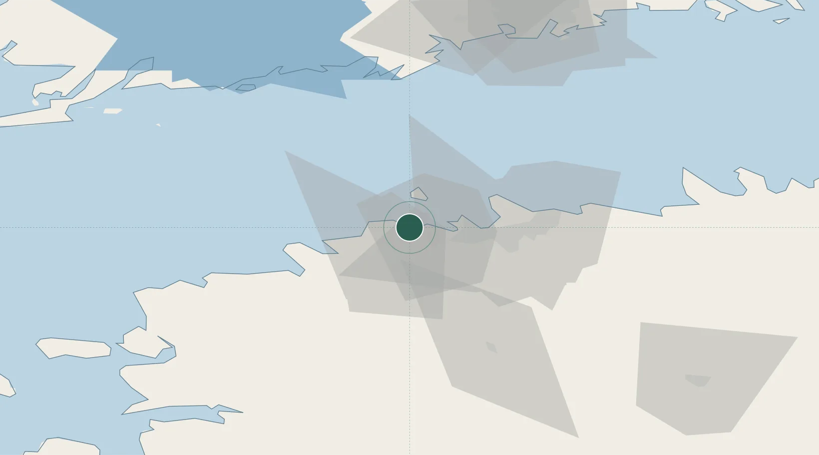
Nearby Logistics Neighbours

Cities
  1. 1Tabasalu4 km
  2. 2Kakumäe7 km
  3. 3Bekkeri9 km
  4. 4Vene-Balti9 km
  5. 5Meeruse10 km
Nearest neighbours — logibook spatial index (haversine) over the source coordinates
Ports
  1. 1Vene-Balti10 km
  2. 2Bekkeri10 km
  3. 3Meeruse11 km
  4. 4Lahesuu12 km
  5. 5Paljassaare13 km
Nearest neighbours — logibook spatial index (haversine) over the source coordinates
Airports
  1. 1Tallinn Linnahall Heliport15 km
  2. 2Lennart Meri Tallinn Airport20 km
  3. 3Ämari Air Base26 km
  4. 4Helsinki Vantaa Airport100 km
  5. 5Kärdla Airport107 km
Nearest neighbours — logibook spatial index (haversine) over the source coordinates
Trade Zones
  1. 1Paldiski Free Zone26 km
  2. 2Muuga Free Zone34 km
  3. 3Freeport of Hanko99 km
  4. 4Turku Free Zone168 km
  5. 5Port of Hamina-Kotka178 km
Nearest neighbours — logibook spatial index (haversine) over the source coordinates
DatabookThe Record of Consolidated Knowledge
Estonia beyond logistics?
Browse databook

All Sources

LocationsUN/LOCODE
UN/LOCODE — free
Portsthe NGA World Port Index
Public domain (US gov)
AirportsOurAirports
Public domain
Trade Zonesthe World Bank SEZ database
CC BY 4.0
Trade ZonesOpen Zone Map
CC BY
← Estonia locations