Transport Functions
Port
Border Crossing
Hub Profile
Place type
Populated place
Region
Saare
Time zone
Europe/Tallinn
Elevation
8 m
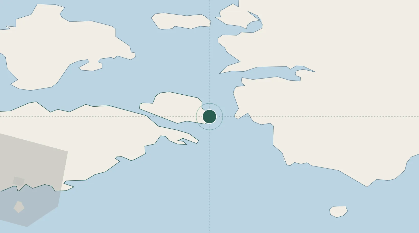
Location
Nearby Logistics Neighbours
Cities
- 1Lõunaranna5 km
- 2Virtsu8 km
- 3Virtsu Kalasadam8 km
- 4Kesse-Jaani8 km
- 5Virtsu Vanasadam11 km
Ports
- 1Virtsu7 km
- 2Rohukula38 km
- 3Heltermaa39 km
- 4Roomassaare64 km
- 5Saaremaa sadam67 km
Airports
- 1Kärdla Airport57 km
- 2Kuressaare Airport63 km
- 3Pärnu Airport65 km
- 4Ruhnu Airfield87 km
- 5Ämari Air Base90 km
Trade Zones
- 1Paldiski Free Zone94 km
- 2Muuga Free Zone124 km
- 3Freeport of Hanko143 km
- 4Free port of Ventspils170 km
- 5Free Port of Riga184 km
DatabookThe Record of Consolidated Knowledge
Estonia beyond logistics?