UN/LOCODE hub · Estonia
EEJKR

Jõekääru

58.9833°, 27.1833°
1
Transport functions

Transport Functions

Port
UN/LOCODE

Hub Profile

Region
45
GeoNames

Location

Location of EEJKR
Natural Earth 10m (public domain) · 45 · EEJKR · 58.98, 27.18GoogleOSMYandex

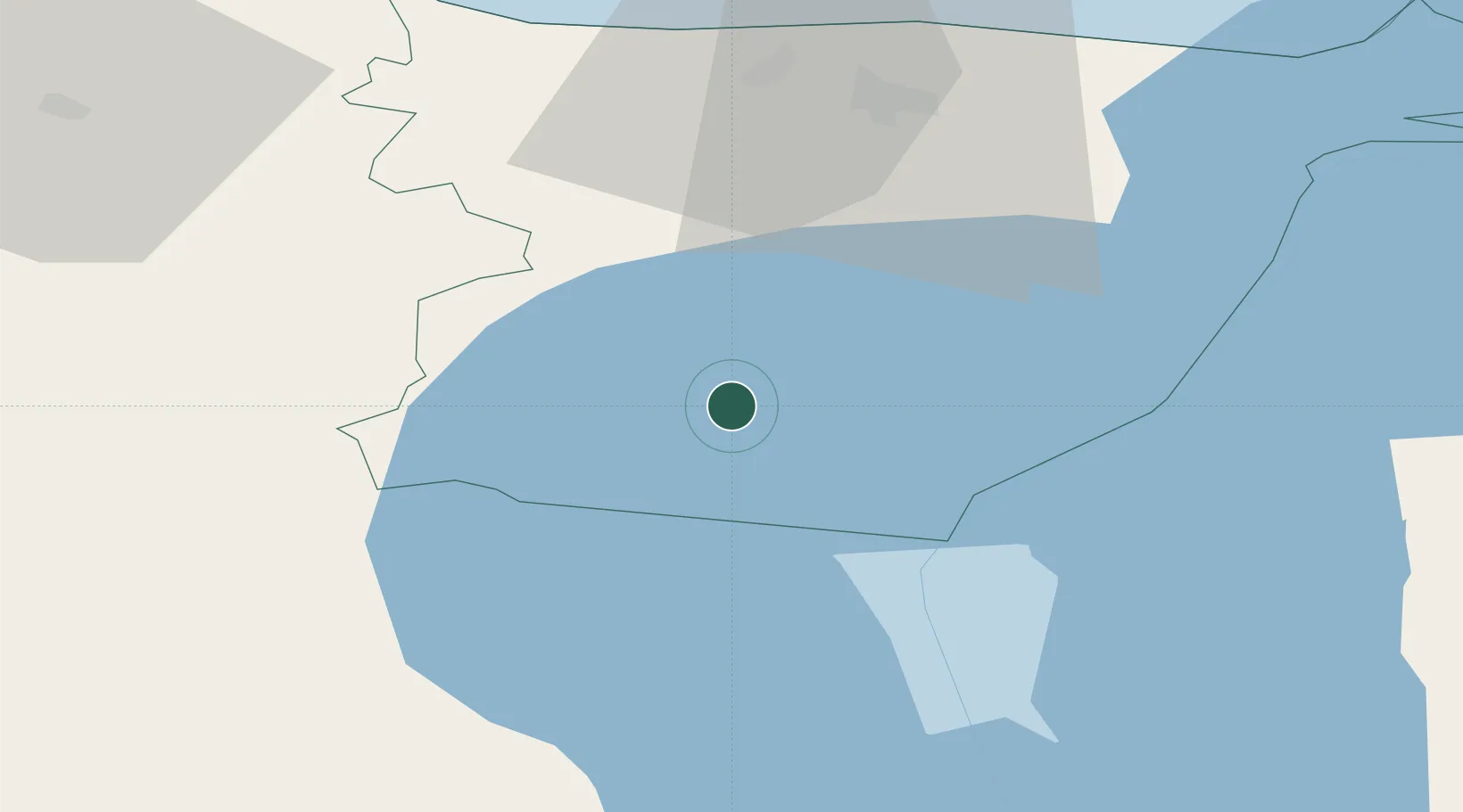
Nearby Logistics Neighbours

Cities
  1. 1Alajõe Kalasadam14 km
  2. 2Kalmaküla Sadam17 km
  3. 3Mustvee20 km
  4. 4Mustvee21 km
  5. 5Remniku Vanasadam21 km
Nearest neighbours — logibook spatial index (haversine) over the source coordinates
Ports
  1. 1Sillamae59 km
  2. 2Kunda71 km
  3. 3Ust Luga100 km
  4. 4Loksa108 km
  5. 5Muuga-Port of Tallin139 km
Nearest neighbours — logibook spatial index (haversine) over the source coordinates
Airports
  1. 1Smuravyovo Air Base51 km
  2. 2Tartu Airport81 km
  3. 3Lennart Meri Tallinn Airport142 km
  4. 4Tallinn Linnahall Heliport148 km
  5. 5Princess Olga Pskov International Airport151 km
Nearest neighbours — logibook spatial index (haversine) over the source coordinates
Trade Zones
  1. 1Port of Sillamäe58 km
  2. 2Muuga Free Zone129 km
  3. 3Moglino Special Economic Zone - Industrial147 km
  4. 4Port of Hamina-Kotka166 km
  5. 5Paldiski Free Zone181 km
Nearest neighbours — logibook spatial index (haversine) over the source coordinates
DatabookThe Record of Consolidated Knowledge
Estonia beyond logistics?
Browse databook

All Sources

LocationsUN/LOCODE
UN/LOCODE — free
Portsthe NGA World Port Index
Public domain (US gov)
AirportsOurAirports
Public domain
Trade Zonesthe World Bank SEZ database
CC BY 4.0
Trade ZonesOpen Zone Map
CC BY
← Estonia locations