UN/LOCODE hub · Estonia
EERVS

Remniku Vanasadam

59.0167°, 27.5500°
1
Transport functions

Transport Functions

Port
UN/LOCODE

Hub Profile

Region
45
GeoNames

Location

Location of EERVS
Natural Earth 10m (public domain) · 45 · EERVS · 59.02, 27.55GoogleOSMYandex

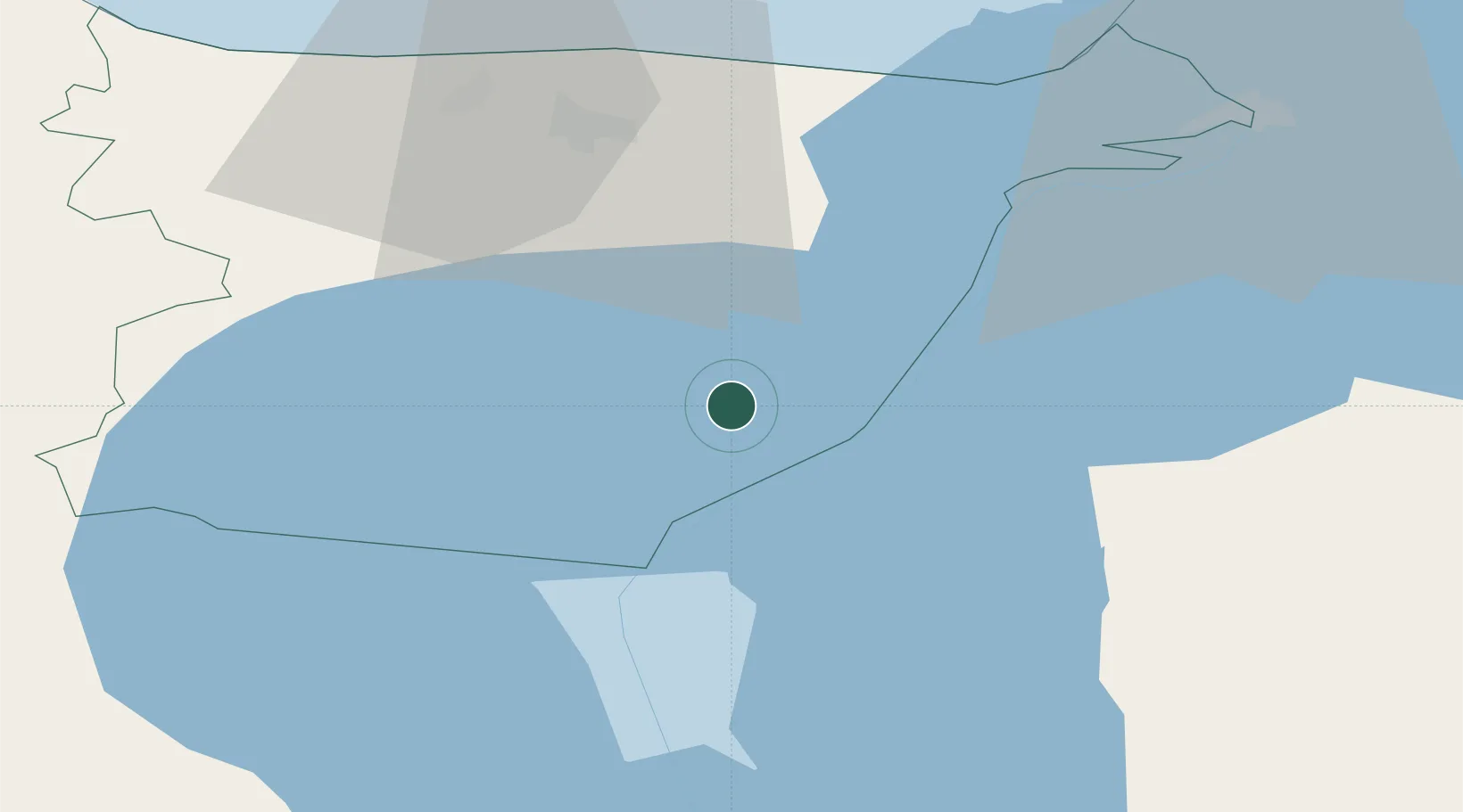
Nearby Logistics Neighbours

Cities
  1. 1Alajõe Kalasadam7 km
  2. 2Vasknarva Uussadam11 km
  3. 3Vasknarva11 km
  4. 4Vasknarva Paadisadam11 km
  5. 5Jõekääru21 km
Nearest neighbours — logibook spatial index (haversine) over the source coordinates
Ports
  1. 1Sillamae47 km
  2. 2Kunda81 km
  3. 3Ust Luga84 km
  4. 4Loksa123 km
  5. 5Muuga-Port of Tallin156 km
Nearest neighbours — logibook spatial index (haversine) over the source coordinates
Airports
  1. 1Smuravyovo Air Base35 km
  2. 2Tartu Airport93 km
  3. 3Princess Olga Pskov International Airport146 km
  4. 4Lennart Meri Tallinn Airport161 km
  5. 5Tallinn Linnahall Heliport166 km
Nearest neighbours — logibook spatial index (haversine) over the source coordinates
Trade Zones
  1. 1Port of Sillamäe46 km
  2. 2Moglino Special Economic Zone - Industrial143 km
  3. 3Muuga Free Zone148 km
  4. 4Port of Hamina-Kotka165 km
  5. 5St Petersburg Technology Innovative Special Economic Zone166 km
Nearest neighbours — logibook spatial index (haversine) over the source coordinates
DatabookThe Record of Consolidated Knowledge
Estonia beyond logistics?
Browse databook

All Sources

LocationsUN/LOCODE
UN/LOCODE — free
Portsthe NGA World Port Index
Public domain (US gov)
AirportsOurAirports
Public domain
Trade Zonesthe World Bank SEZ database
CC BY 4.0
Trade ZonesOpen Zone Map
CC BY
← Estonia locations