UN/LOCODE hub · Estonia
EEAKS

Alajõe Kalasadam

59.0000°, 27.4333°
1
Transport functions

Transport Functions

Port
UN/LOCODE

Hub Profile

Region
45
GeoNames

Location

Location of EEAKS
Natural Earth 10m (public domain) · 45 · EEAKS · 59.00, 27.43GoogleOSMYandex

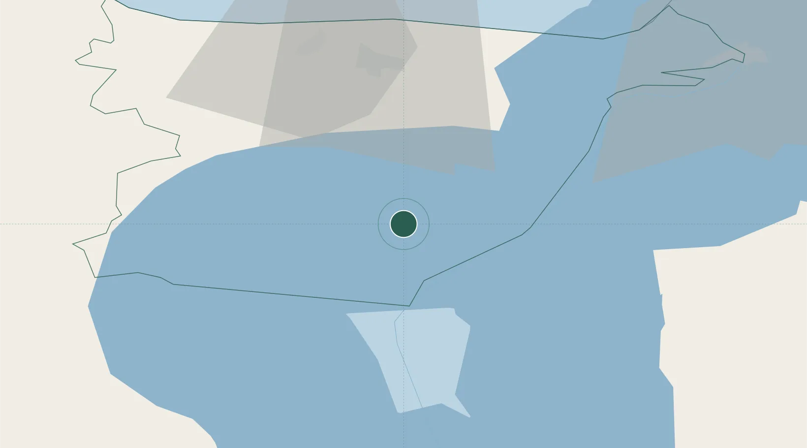
Nearby Logistics Neighbours

Cities
  1. 1Remniku Vanasadam7 km
  2. 2Jõekääru14 km
  3. 3Vasknarva17 km
  4. 4Vasknarva Paadisadam17 km
  5. 5Vasknarva Uussadam17 km
Nearest neighbours — logibook spatial index (haversine) over the source coordinates
Ports
  1. 1Sillamae51 km
  2. 2Kunda77 km
  3. 3Ust Luga90 km
  4. 4Loksa118 km
  5. 5Muuga-Port of Tallin151 km
Nearest neighbours — logibook spatial index (haversine) over the source coordinates
Airports
  1. 1Smuravyovo Air Base39 km
  2. 2Tartu Airport88 km
  3. 3Princess Olga Pskov International Airport147 km
  4. 4Lennart Meri Tallinn Airport155 km
  5. 5Tallinn Linnahall Heliport160 km
Nearest neighbours — logibook spatial index (haversine) over the source coordinates
Trade Zones
  1. 1Port of Sillamäe50 km
  2. 2Muuga Free Zone142 km
  3. 3Moglino Special Economic Zone - Industrial143 km
  4. 4Port of Hamina-Kotka166 km
  5. 5St Petersburg Technology Innovative Special Economic Zone173 km
Nearest neighbours — logibook spatial index (haversine) over the source coordinates
DatabookThe Record of Consolidated Knowledge
Estonia beyond logistics?
Browse databook

All Sources

LocationsUN/LOCODE
UN/LOCODE — free
Portsthe NGA World Port Index
Public domain (US gov)
AirportsOurAirports
Public domain
Trade Zonesthe World Bank SEZ database
CC BY 4.0
Trade ZonesOpen Zone Map
CC BY
← Estonia locations