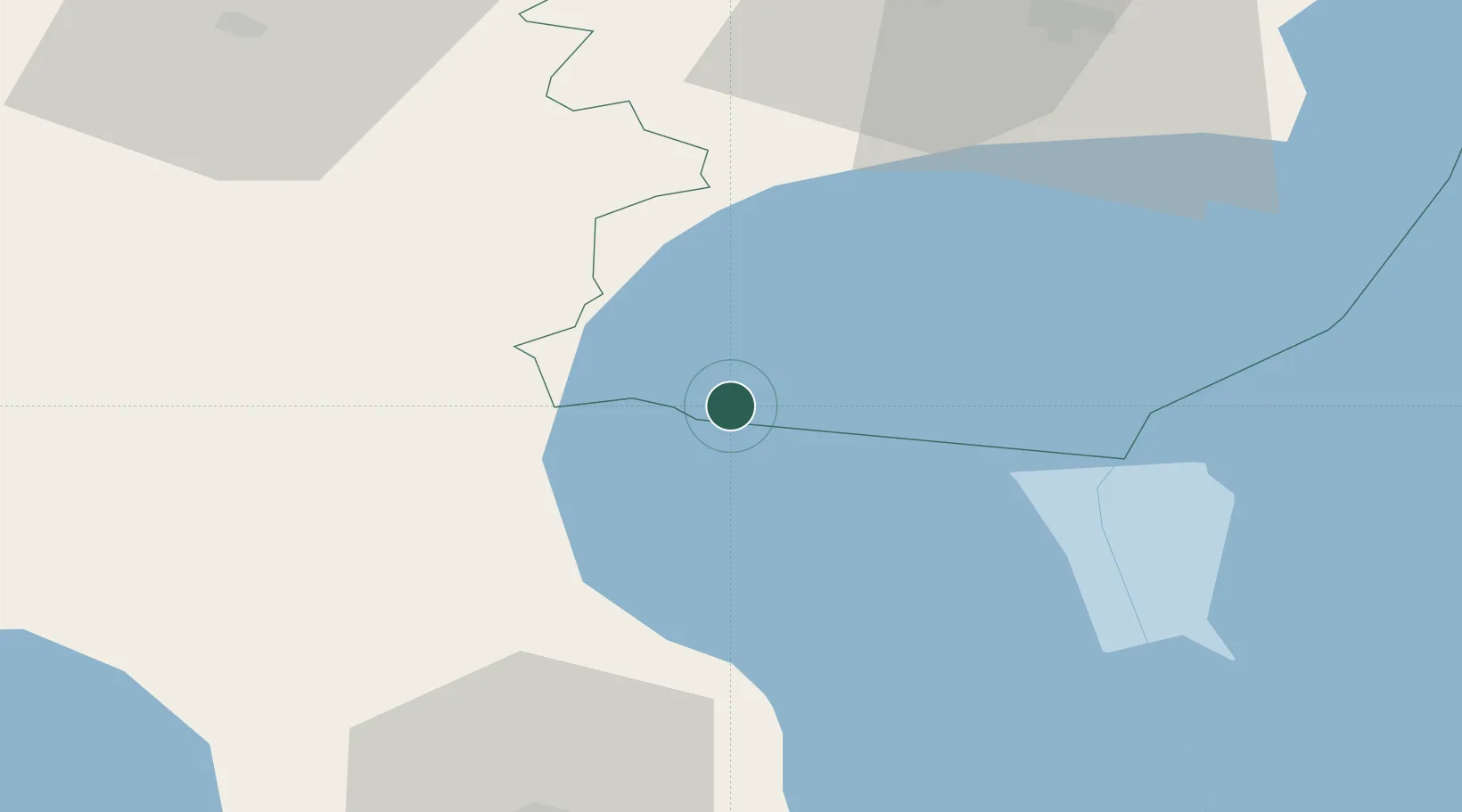
UN/LOCODE hub · Estonia
EEKAM

Kalmaküla Sadam

58.8833°, 26.9667°
1
Transport functions

Transport Functions

Port
UN/LOCODE

Hub Profile

Region
45
GeoNames

Location

Location of EEKAM
Natural Earth 10m (public domain) · 45 · EEKAM · 58.88, 26.97GoogleOSMYandex

Nearby Logistics Neighbours

Cities
  1. 1Mustvee4 km
  2. 2Mustvee4 km
  3. 3Raja6 km
  4. 4Mihkli Sadam11 km
  5. 5Omedu Rand11 km
Nearest neighbours — logibook spatial index (haversine) over the source coordinates
Ports
  1. 1Sillamae75 km
  2. 2Kunda76 km
  3. 3Loksa106 km
  4. 4Ust Luga116 km
  5. 5Muuga-Port of Tallin133 km
Nearest neighbours — logibook spatial index (haversine) over the source coordinates
Airports
  1. 1Smuravyovo Air Base61 km
  2. 2Tartu Airport66 km
  3. 3Lennart Meri Tallinn Airport135 km
  4. 4Tallinn Linnahall Heliport141 km
  5. 5Princess Olga Pskov International Airport148 km
Nearest neighbours — logibook spatial index (haversine) over the source coordinates
Trade Zones
  1. 1Port of Sillamäe74 km
  2. 2Muuga Free Zone121 km
  3. 3Moglino Special Economic Zone - Industrial142 km
  4. 4Paldiski Free Zone172 km
  5. 5Port of Hamina-Kotka176 km
Nearest neighbours — logibook spatial index (haversine) over the source coordinates
DatabookThe Record of Consolidated Knowledge
Estonia beyond logistics?
Browse databook

All Sources

LocationsUN/LOCODE
UN/LOCODE — free
Portsthe NGA World Port Index
Public domain (US gov)
AirportsOurAirports
Public domain
Trade Zonesthe World Bank SEZ database
CC BY 4.0
Trade ZonesOpen Zone Map
CC BY
← Estonia locations