Transport Functions
Port
Hub Profile
Place type
Populated place
Region
Saare
Time zone
Europe/Tallinn
Elevation
2 m
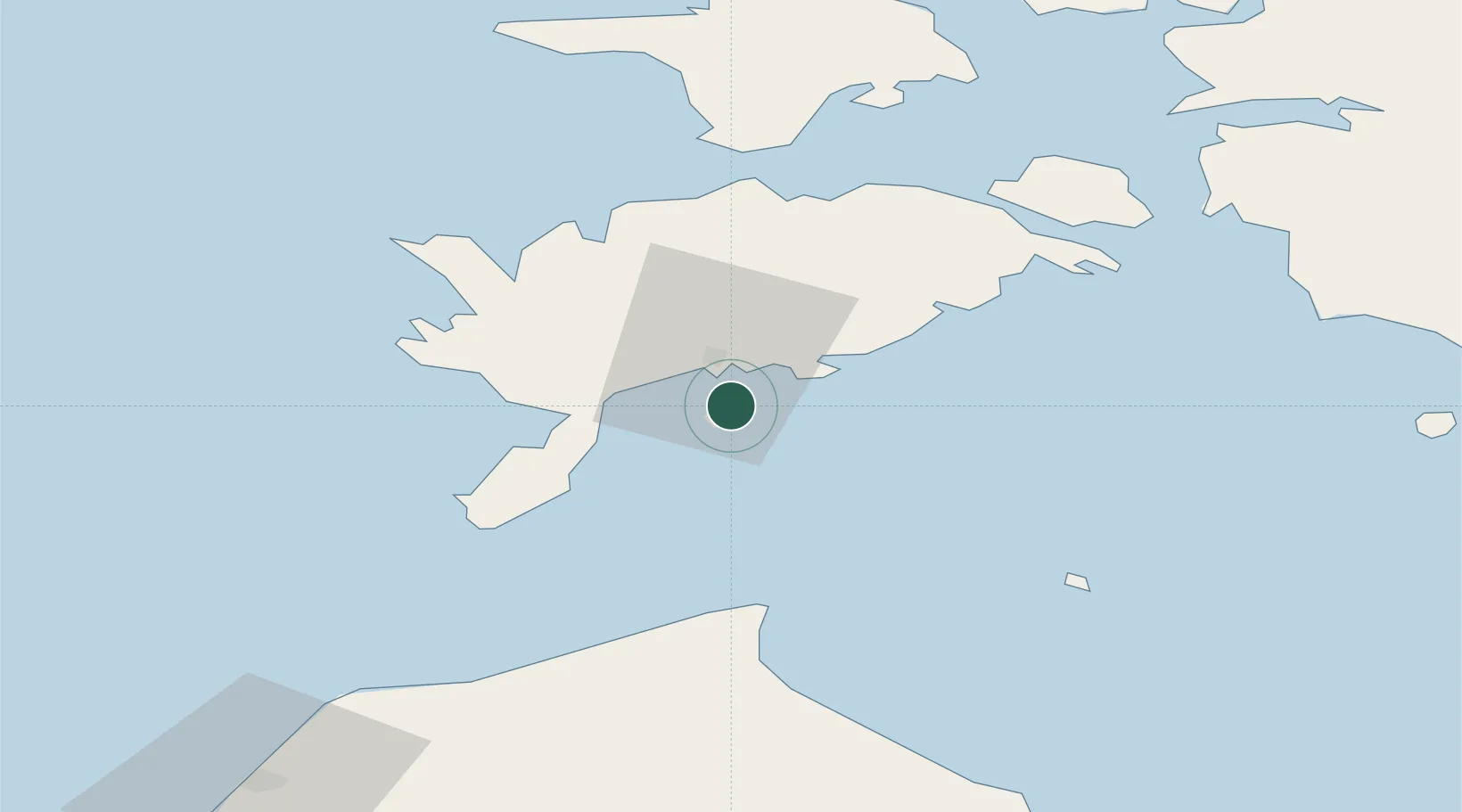
Location
Nearby Logistics Neighbours
Cities
- 1Roomassaare6 km
- 2Muratsi Sadam8 km
- 3Kuressaare10 km
- 4Nasva10 km
- 5Kuressaare sadam10 km
Ports
- 1Roomassaare6 km
- 2Saaremaa sadam45 km
- 3Virtsu73 km
- 4Heltermaa83 km
- 5Rohukula97 km
Airports
- 1Kuressaare Airport7 km
- 2Ruhnu Airfield60 km
- 3Kärdla Airport93 km
- 4Pärnu Airport117 km
- 5Jūrmala Airport142 km
Trade Zones
- 1Free port of Ventspils104 km
- 2Paldiski Free Zone157 km
- 3Free Port of Riga164 km
- 4Freeport of Hanko186 km
- 5Muuga Free Zone190 km
DatabookThe Record of Consolidated Knowledge
Estonia beyond logistics?