UN/LOCODE hub · Ecuador
ECVIL

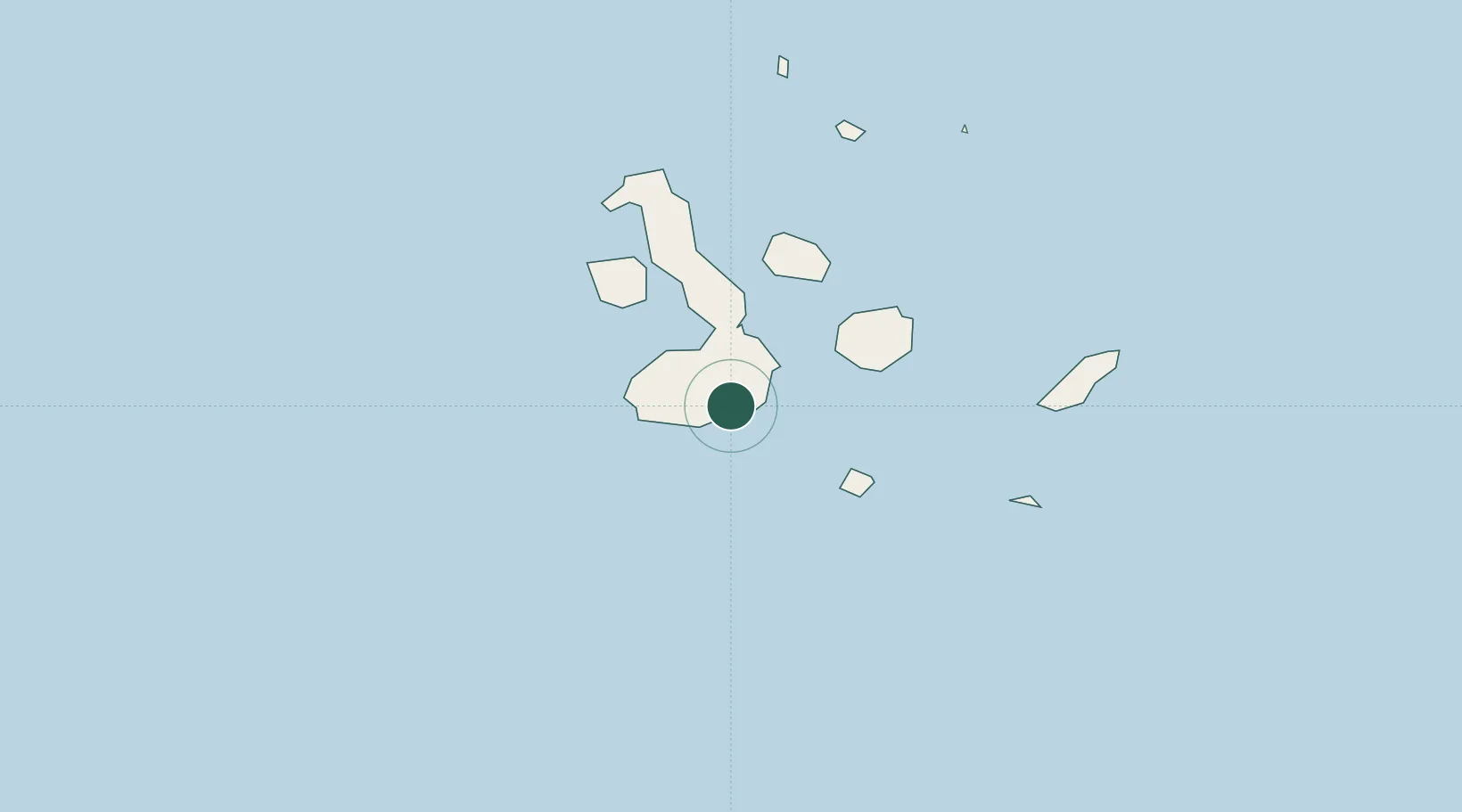
Puerto Villamil, Isla Isabela

-0.9333°, -91.0167°
1
Transport functions

Transport Functions

Port
UN/LOCODE

Hub Profile

Region
W
GeoNames

Location

Location of ECVIL
Natural Earth 10m (public domain) · W · ECVIL · -0.93, -91.02GoogleOSMYandex

Nearby Logistics Neighbours

Cities
  1. 1Rabida Island67 km
  2. 2Floreana Island77 km
  3. 3Puerto Egas80 km
  4. 4Puerto Ayora, Isla Santa Cruz81 km
  5. 5Caleta Tagus85 km
Nearest neighbours — logibook spatial index (haversine) over the source coordinates
Ports
  1. 1La Libertad1132 km
  2. 2Manta1145 km
  3. 3Puerto Cabo Blanco1148 km
  4. 4Caleta Lobitos1150 km
  5. 5Talara1155 km
Nearest neighbours — logibook spatial index (haversine) over the source coordinates
Airports
  1. 1General Villamil Airport7 km
  2. 2Seymour Galapagos Ecological Airport99 km
  3. 3San Cristóbal Airport156 km
  4. 4General Ulpiano Paez International Airport1124 km
  5. 5Eloy Alfaro International Airport1149 km
Nearest neighbours — logibook spatial index (haversine) over the source coordinates
Trade Zones
  1. 1Zona Franca de Manta1143 km
  2. 2Zona Franca Manabí1148 km
  3. 3Zona Especial de Desarrollo Paita (Special Development Zone of Paita)1196 km
  4. 4DP World Posorja1212 km
  5. 5Posorja ZofraPort SA Free Zone1213 km
Nearest neighbours — logibook spatial index (haversine) over the source coordinates
DatabookThe Record of Consolidated Knowledge
Ecuador beyond logistics?
Browse databook

All Sources

LocationsUN/LOCODE
UN/LOCODE — free
Portsthe NGA World Port Index
Public domain (US gov)
AirportsOurAirports
Public domain
Trade Zonesthe World Bank SEZ database
CC BY 4.0
Trade ZonesOpen Zone Map
CC BY
← Ecuador locations