UN/LOCODE hub · Ecuador
ECAYO

Puerto Ayora, Isla Santa Cruz

-0.7500°, -90.3167°
1
Transport functions

Transport Functions

Port
UN/LOCODE

Hub Profile

Region
W
GeoNames

Location

Location of ECAYO
Natural Earth 10m (public domain) · W · ECAYO · -0.75, -90.32GoogleOSMYandex

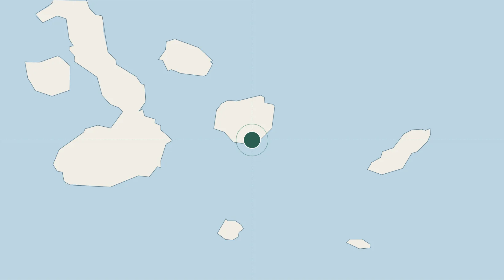
Nearby Logistics Neighbours

Cities
  1. 1Seymour37 km
  2. 2Rabida Island57 km
  3. 3Bartolome Island58 km
  4. 4Floreana Island63 km
  5. 5Puerto Villamil, Isla Isabela81 km
Nearest neighbours — logibook spatial index (haversine) over the source coordinates
Ports
  1. 1La Libertad1058 km
  2. 2Manta1068 km
  3. 3Puerto Cabo Blanco1081 km
  4. 4Caleta Lobitos1084 km
  5. 5Talara1090 km
Nearest neighbours — logibook spatial index (haversine) over the source coordinates
Airports
  1. 1Seymour Galapagos Ecological Airport33 km
  2. 2General Villamil Airport74 km
  3. 3San Cristóbal Airport80 km
  4. 4General Ulpiano Paez International Airport1050 km
  5. 5Eloy Alfaro International Airport1072 km
Nearest neighbours — logibook spatial index (haversine) over the source coordinates
Trade Zones
  1. 1Zona Franca de Manta1066 km
  2. 2Zona Franca Manabí1071 km
  3. 3Zona Especial de Desarrollo Paita (Special Development Zone of Paita)1133 km
  4. 4DP World Posorja1139 km
  5. 5Posorja ZofraPort SA Free Zone1140 km
Nearest neighbours — logibook spatial index (haversine) over the source coordinates
DatabookThe Record of Consolidated Knowledge
Ecuador beyond logistics?
Browse databook

All Sources

LocationsUN/LOCODE
UN/LOCODE — free
Portsthe NGA World Port Index
Public domain (US gov)
AirportsOurAirports
Public domain
Trade Zonesthe World Bank SEZ database
CC BY 4.0
Trade ZonesOpen Zone Map
CC BY
← Ecuador locations