Small airport · Ecuador

San Cristóbal AirportSEST
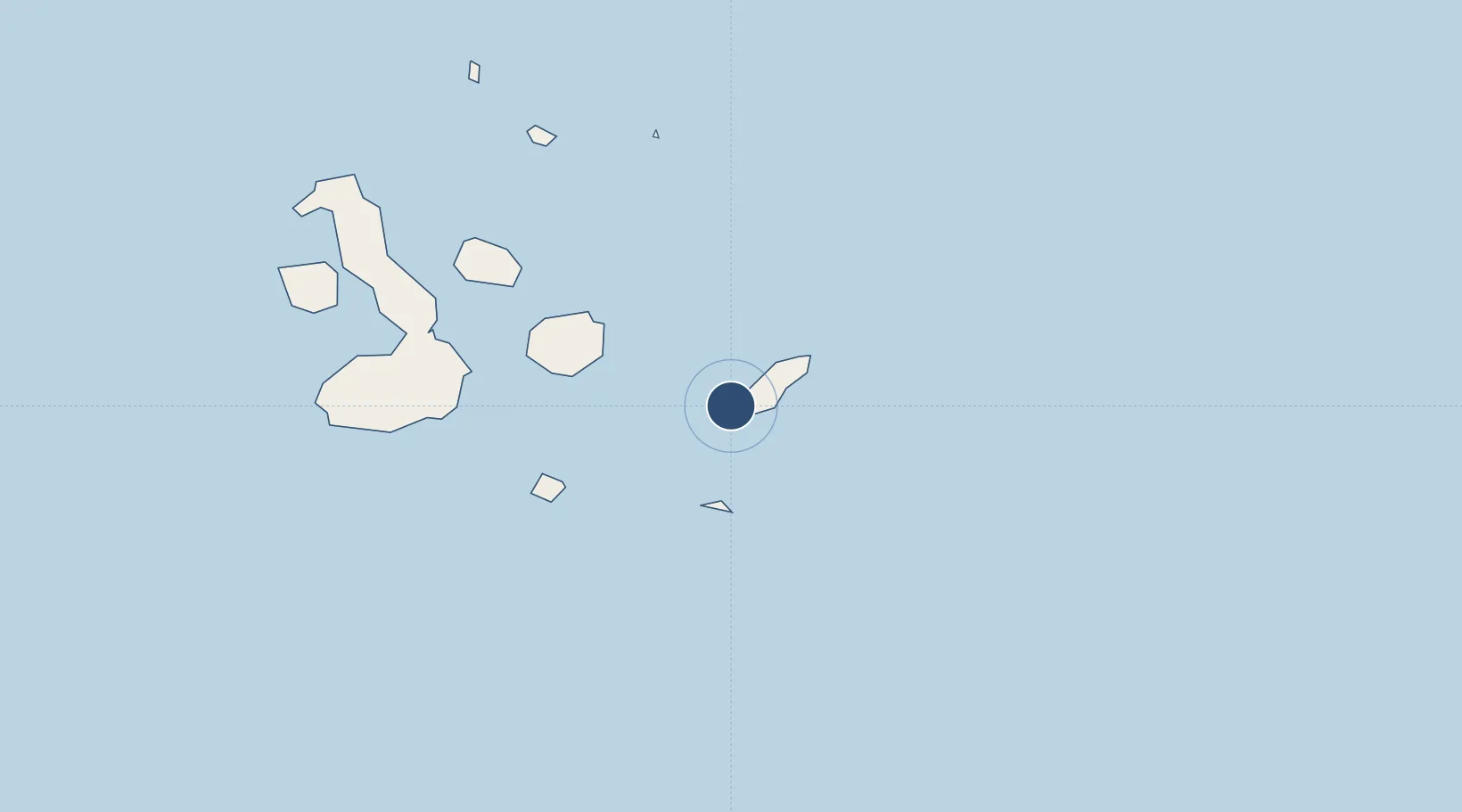
-0.9102°, -89.6174°
6,214 ft
Longest runway
1
Runways
62 ft
Elevation

Runway & Layout

San Cristóbal Airport runway & taxiway layout
Runway & taxiway layout — OpenStreetMap (ODbL) / OurAirports

Radio Frequencies

TWR
122.5 MHz
OurAirports

Navaids

SCR NDB San Cristobal 300 kHz
SCV VOR-DME San Cristobal 113.10 MHz
OurAirports

Runways · 1

RunwayDimensions SurfaceTrue headingLit
16/34 6,214 × 66ft Asphalt 169°
OurAirports

Airport Specifications

IATA code
SCY
OurAirports
ICAO code
SEST
OurAirports
Airport class
Small airport
OurAirports
Scheduled service
Yes
OurAirports
Runway surface
Asphalt
OurAirports
Served city
Puerto Baquerizo Moreno
OurAirports

Location

Location of SEST
Natural Earth 10m (public domain) · Galápagos · SEST · -0.91, -89.62GoogleOSMYandex

Nearby Logistics Neighbours

Airports
  1. 1Seymour Galapagos Ecological Airport88 km
  2. 2General Villamil Airport149 km
  3. 3General Ulpiano Paez International Airport970 km
  4. 4Eloy Alfaro International Airport994 km
  5. 5Captain Victor Montes Arias International Airport1014 km
Nearest neighbours — logibook spatial index (haversine) over the source coordinates
Cities
  1. 1Puerto Baquerizo Moreno2 km
  2. 2Espanola Island53 km
  3. 3Puerto Ayora, Isla Santa Cruz80 km
  4. 4Seymour92 km
  5. 5Floreana Island101 km
Nearest neighbours — logibook spatial index (haversine) over the source coordinates
Ports
  1. 1La Libertad978 km
  2. 2Manta990 km
  3. 3Puerto Cabo Blanco1003 km
  4. 4Caleta Lobitos1006 km
  5. 5Talara1012 km
Nearest neighbours — logibook spatial index (haversine) over the source coordinates
Trade Zones
  1. 1Zona Franca de Manta987 km
  2. 2Zona Franca Manabí993 km
  3. 3Zona Especial de Desarrollo Paita (Special Development Zone of Paita)1055 km
  4. 4DP World Posorja1060 km
  5. 5Posorja ZofraPort SA Free Zone1060 km
Nearest neighbours — logibook spatial index (haversine) over the source coordinates
DatabookThe Record of Consolidated Knowledge
Ecuador beyond logistics?
Browse databook

All Sources

AirportsOurAirports
Public domain
Portsthe NGA World Port Index
Public domain (US gov)
LocationsUN/LOCODE
UN/LOCODE — free
Trade Zonesthe World Bank SEZ database
CC BY 4.0
Trade ZonesOpen Zone Map
CC BY
InfrastructureOpenStreetMap
ODbL 1.0
← Ecuador airports