UN/LOCODE hub · Ecuador
ECRAB

Rabida Island

-0.4167°, -90.7000°
1
Transport functions

Transport Functions

Port
UN/LOCODE

Hub Profile

Region
W
GeoNames

Location

Location of ECRAB
Natural Earth 10m (public domain) · W · ECRAB · -0.42, -90.70GoogleOSMYandex

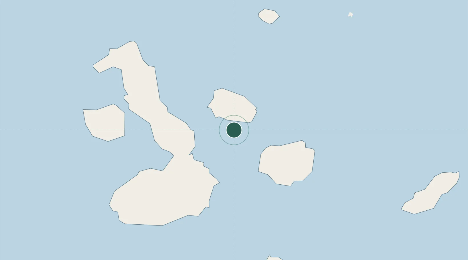
Nearby Logistics Neighbours

Cities
  1. 1Bartolome Island22 km
  2. 2Puerto Egas26 km
  3. 3Seymour46 km
  4. 4Puerto Ayora, Isla Santa Cruz57 km
  5. 5Puerto Villamil, Isla Isabela67 km
Nearest neighbours — logibook spatial index (haversine) over the source coordinates
Ports
  1. 1La Libertad1106 km
  2. 2Manta1112 km
  3. 3Puerto Cabo Blanco1135 km
  4. 4Caleta Lobitos1138 km
  5. 5Talara1144 km
Nearest neighbours — logibook spatial index (haversine) over the source coordinates
Airports
  1. 1Seymour Galapagos Ecological Airport48 km
  2. 2General Villamil Airport65 km
  3. 3San Cristóbal Airport132 km
  4. 4General Ulpiano Paez International Airport1098 km
  5. 5Eloy Alfaro International Airport1116 km
Nearest neighbours — logibook spatial index (haversine) over the source coordinates
Trade Zones
  1. 1Zona Franca de Manta1110 km
  2. 2Zona Franca Manabí1115 km
  3. 3Zona Especial de Desarrollo Paita (Special Development Zone of Paita)1187 km
  4. 4DP World Posorja1189 km
  5. 5Posorja ZofraPort SA Free Zone1189 km
Nearest neighbours — logibook spatial index (haversine) over the source coordinates
DatabookThe Record of Consolidated Knowledge
Ecuador beyond logistics?
Browse databook

All Sources

LocationsUN/LOCODE
UN/LOCODE — free
Portsthe NGA World Port Index
Public domain (US gov)
AirportsOurAirports
Public domain
Trade Zonesthe World Bank SEZ database
CC BY 4.0
Trade ZonesOpen Zone Map
CC BY
← Ecuador locations