UN/LOCODE hub · Ecuador
ECCAT

Caleta Tagus

-0.2500°, -91.3667°
1
Transport functions

Transport Functions

Port
UN/LOCODE

Hub Profile

Region
W
GeoNames

Location

Location of ECCAT
Natural Earth 10m (public domain) · W · ECCAT · -0.25, -91.37GoogleOSMYandex

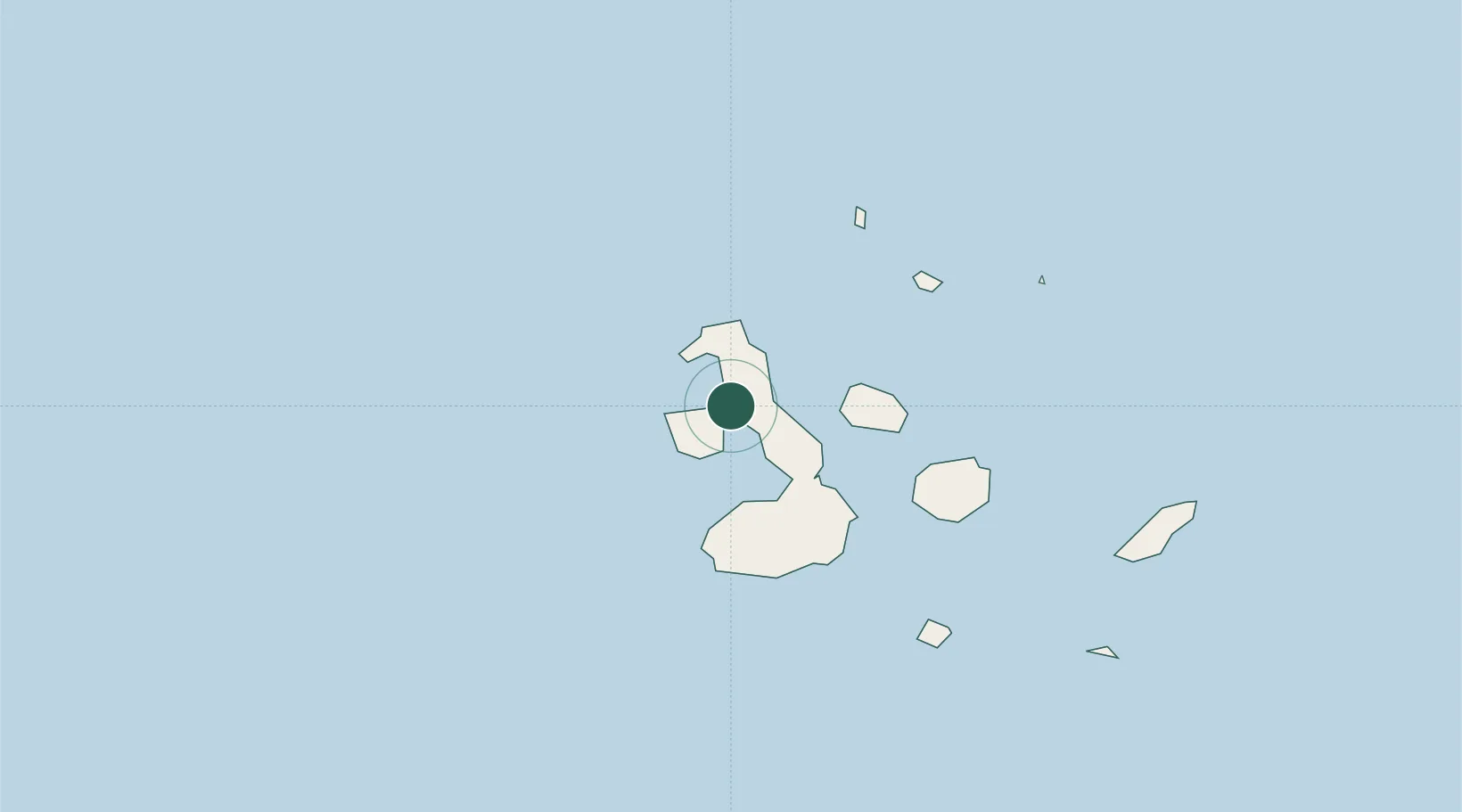
Nearby Logistics Neighbours

Cities
  1. 1Puerto Egas58 km
  2. 2Rabida Island76 km
  3. 3Puerto Villamil, Isla Isabela85 km
  4. 4Bartolome Island91 km
  5. 5Seymour122 km
Nearest neighbours — logibook spatial index (haversine) over the source coordinates
Ports
  1. 1La Libertad1182 km
  2. 2Manta1187 km
  3. 3Puerto Cabo Blanco1210 km
  4. 4Caleta Lobitos1214 km
  5. 5Talara1219 km
Nearest neighbours — logibook spatial index (haversine) over the source coordinates
Airports
  1. 1General Villamil Airport90 km
  2. 2Seymour Galapagos Ecological Airport125 km
  3. 3San Cristóbal Airport208 km
  4. 4General Ulpiano Paez International Airport1175 km
  5. 5Eloy Alfaro International Airport1191 km
Nearest neighbours — logibook spatial index (haversine) over the source coordinates
Trade Zones
  1. 1Zona Franca de Manta1185 km
  2. 2Zona Franca Manabí1190 km
  3. 3Zona Especial de Desarrollo Paita (Special Development Zone of Paita)1262 km
  4. 4DP World Posorja1265 km
  5. 5Posorja ZofraPort SA Free Zone1265 km
Nearest neighbours — logibook spatial index (haversine) over the source coordinates
DatabookThe Record of Consolidated Knowledge
Ecuador beyond logistics?
Browse databook

All Sources

LocationsUN/LOCODE
UN/LOCODE — free
Portsthe NGA World Port Index
Public domain (US gov)
AirportsOurAirports
Public domain
Trade Zonesthe World Bank SEZ database
CC BY 4.0
Trade ZonesOpen Zone Map
CC BY
← Ecuador locations