Small airport · Ecuador

General Villamil AirportSEII
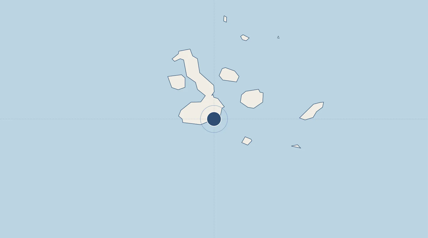
-0.9426°, -90.9530°
4,921 ft
Longest runway
1
Runways
35 ft
Elevation

Runway & Layout

General Villamil Airport runway & taxiway layout
Runway & taxiway layout — OpenStreetMap (ODbL) / OurAirports

Runways · 1

RunwayDimensions SurfaceTrue headingLit
17/35 4,921 × 98ft Asphalt 171°
OurAirports

Airport Specifications

IATA code
IBB
OurAirports
ICAO code
SEII
OurAirports
Airport class
Small airport
OurAirports
Scheduled service
Yes
OurAirports
Runway surface
Asphalt
OurAirports
Served city
Puerto Villamil
OurAirports

Location

Location of SEII
Natural Earth 10m (public domain) · Galápagos · SEII · -0.94, -90.95GoogleOSMYandex

Nearby Logistics Neighbours

Airports
  1. 1Seymour Galapagos Ecological Airport94 km
  2. 2San Cristóbal Airport149 km
  3. 3General Ulpiano Paez International Airport1117 km
  4. 4Eloy Alfaro International Airport1142 km
  5. 5Captain Victor Montes Arias International Airport1150 km
Nearest neighbours — logibook spatial index (haversine) over the source coordinates
Cities
  1. 1Puerto Villamil, Isla Isabela7 km
  2. 2Rabida Island65 km
  3. 3Floreana Island70 km
  4. 4Puerto Ayora, Isla Santa Cruz74 km
  5. 5Puerto Egas80 km
Nearest neighbours — logibook spatial index (haversine) over the source coordinates
Ports
  1. 1La Libertad1125 km
  2. 2Manta1138 km
  3. 3Puerto Cabo Blanco1140 km
  4. 4Caleta Lobitos1143 km
  5. 5Talara1148 km
Nearest neighbours — logibook spatial index (haversine) over the source coordinates
Trade Zones
  1. 1Zona Franca de Manta1136 km
  2. 2Zona Franca Manabí1141 km
  3. 3Zona Especial de Desarrollo Paita (Special Development Zone of Paita)1189 km
  4. 4DP World Posorja1205 km
  5. 5Posorja ZofraPort SA Free Zone1205 km
Nearest neighbours — logibook spatial index (haversine) over the source coordinates
DatabookThe Record of Consolidated Knowledge
Ecuador beyond logistics?
Browse databook

All Sources

AirportsOurAirports
Public domain
Portsthe NGA World Port Index
Public domain (US gov)
LocationsUN/LOCODE
UN/LOCODE — free
Trade Zonesthe World Bank SEZ database
CC BY 4.0
Trade ZonesOpen Zone Map
CC BY
InfrastructureOpenStreetMap
ODbL 1.0
← Ecuador airports