Medium airport · Ecuador

Seymour Galapagos Ecological AirportSEGS
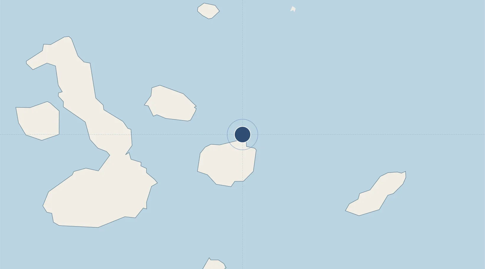
-0.4538°, -90.2659°
7,877 ft
Longest runway
1
Runways
207 ft
Elevation

Runway & Layout

Seymour Galapagos Ecological Airport runway & taxiway layout
Runway & taxiway layout — OpenStreetMap (ODbL) / OurAirports

Radio Frequencies

TWR
122.2 MHz
OurAirports

Navaids

GLS NDB Galapagos 272 kHz
GLV VOR-DME Galapagos 112.30 MHz
OurAirports

Runways · 1

RunwayDimensions SurfaceTrue headingLit
14/32 7,877 × 115ft Asphalt 144°
OurAirports

Airport Specifications

IATA code
GPS
OurAirports
ICAO code
SEGS
OurAirports
Airport class
Medium airport
OurAirports
Scheduled service
Yes
OurAirports
Runway surface
Asphalt
OurAirports
Served city
Isla Baltra
OurAirports

Location

Location of SEGS
Natural Earth 10m (public domain) · Galápagos · SEGS · -0.45, -90.27GoogleOSMYandex

Nearby Logistics Neighbours

Airports
  1. 1San Cristóbal Airport88 km
  2. 2General Villamil Airport94 km
  3. 3General Ulpiano Paez International Airport1050 km
  4. 4Eloy Alfaro International Airport1067 km
  5. 5Reales Tamarindos Airport1091 km
Nearest neighbours — logibook spatial index (haversine) over the source coordinates
Cities
  1. 1Seymour5 km
  2. 2Puerto Ayora, Isla Santa Cruz33 km
  3. 3Bartolome Island37 km
  4. 4Rabida Island48 km
  5. 5Puerto Egas69 km
Nearest neighbours — logibook spatial index (haversine) over the source coordinates
Ports
  1. 1La Libertad1058 km
  2. 2Manta1063 km
  3. 3Puerto Cabo Blanco1089 km
  4. 4Caleta Lobitos1092 km
  5. 5Talara1098 km
Nearest neighbours — logibook spatial index (haversine) over the source coordinates
Trade Zones
  1. 1Zona Franca de Manta1061 km
  2. 2Zona Franca Manabí1067 km
  3. 3DP World Posorja1141 km
  4. 4Posorja ZofraPort SA Free Zone1141 km
  5. 5Zona Especial de Desarrollo Paita (Special Development Zone of Paita)1142 km
Nearest neighbours — logibook spatial index (haversine) over the source coordinates
DatabookThe Record of Consolidated Knowledge
Ecuador beyond logistics?
Browse databook

All Sources

AirportsOurAirports
Public domain
Portsthe NGA World Port Index
Public domain (US gov)
LocationsUN/LOCODE
UN/LOCODE — free
Trade Zonesthe World Bank SEZ database
CC BY 4.0
Trade ZonesOpen Zone Map
CC BY
InfrastructureOpenStreetMap
ODbL 1.0
← Ecuador airports