UN/LOCODE hub · Ecuador
ECBLI

Bartolome Island

-0.2833°, -90.5500°
1
Transport functions

Transport Functions

Port
UN/LOCODE

Hub Profile

Region
W
GeoNames

Location

Location of ECBLI
Natural Earth 10m (public domain) · W · ECBLI · -0.28, -90.55GoogleOSMYandex

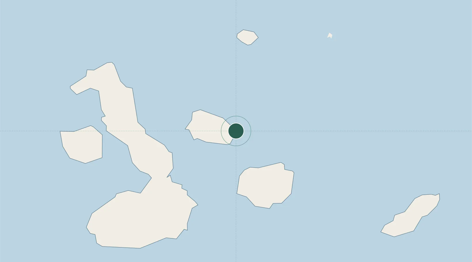
Nearby Logistics Neighbours

Cities
  1. 1Rabida Island22 km
  2. 2Seymour33 km
  3. 3Puerto Egas34 km
  4. 4Puerto Ayora, Isla Santa Cruz58 km
  5. 5Puerto Villamil, Isla Isabela89 km
Nearest neighbours — logibook spatial index (haversine) over the source coordinates
Ports
  1. 1La Libertad1092 km
  2. 2Manta1096 km
  3. 3Puerto Cabo Blanco1125 km
  4. 4Caleta Lobitos1129 km
  5. 5Talara1135 km
Nearest neighbours — logibook spatial index (haversine) over the source coordinates
Airports
  1. 1Seymour Galapagos Ecological Airport37 km
  2. 2General Villamil Airport86 km
  3. 3San Cristóbal Airport125 km
  4. 4General Ulpiano Paez International Airport1085 km
  5. 5Eloy Alfaro International Airport1100 km
Nearest neighbours — logibook spatial index (haversine) over the source coordinates
Trade Zones
  1. 1Zona Franca de Manta1094 km
  2. 2Zona Franca Manabí1099 km
  3. 3DP World Posorja1176 km
  4. 4Posorja ZofraPort SA Free Zone1176 km
  5. 5Zona Especial de Desarrollo Paita (Special Development Zone of Paita)1179 km
Nearest neighbours — logibook spatial index (haversine) over the source coordinates
DatabookThe Record of Consolidated Knowledge
Ecuador beyond logistics?
Browse databook

All Sources

LocationsUN/LOCODE
UN/LOCODE — free
Portsthe NGA World Port Index
Public domain (US gov)
AirportsOurAirports
Public domain
Trade Zonesthe World Bank SEZ database
CC BY 4.0
Trade ZonesOpen Zone Map
CC BY
← Ecuador locations