UN/LOCODE hub · Ecuador
ECBAQ

Puerto Baquerizo Moreno

-0.9000°, -89.6000°
7,290
Population
1
Transport functions

Transport Functions

Port
UN/LOCODE

Hub Profile

Place type
Regional capital
GeoNames
Region
Galápagos
GeoNames
Population
7,290
GeoNames
Time zone
Pacific/Galapagos
GeoNames
Elevation
9 m
GeoNames

Location

Location of ECBAQ
Natural Earth 10m (public domain) · Galápagos · ECBAQ · -0.90, -89.60GoogleOSMYandex

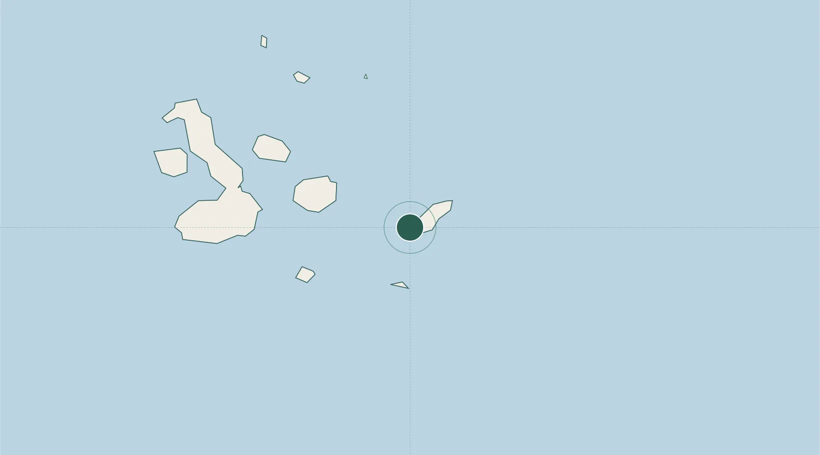
Nearby Logistics Neighbours

Cities
  1. 1Espanola Island55 km
  2. 2Puerto Ayora, Isla Santa Cruz81 km
  3. 3Seymour93 km
  4. 4Floreana Island103 km
  5. 5Bartolome Island126 km
Nearest neighbours — logibook spatial index (haversine) over the source coordinates
Ports
  1. 1La Libertad976 km
  2. 2Manta988 km
  3. 3Puerto Cabo Blanco1001 km
  4. 4Caleta Lobitos1004 km
  5. 5Talara1010 km
Nearest neighbours — logibook spatial index (haversine) over the source coordinates
Airports
  1. 1San Cristóbal Airport2 km
  2. 2Seymour Galapagos Ecological Airport89 km
  3. 3General Villamil Airport151 km
  4. 4General Ulpiano Paez International Airport969 km
  5. 5Eloy Alfaro International Airport992 km
Nearest neighbours — logibook spatial index (haversine) over the source coordinates
Trade Zones
  1. 1Zona Franca de Manta986 km
  2. 2Zona Franca Manabí991 km
  3. 3Zona Especial de Desarrollo Paita (Special Development Zone of Paita)1054 km
  4. 4DP World Posorja1058 km
  5. 5Posorja ZofraPort SA Free Zone1058 km
Nearest neighbours — logibook spatial index (haversine) over the source coordinates
DatabookThe Record of Consolidated Knowledge
Ecuador beyond logistics?
Browse databook

All Sources

LocationsUN/LOCODE
UN/LOCODE — free
LocationsGeoNames
CC BY 4.0
Portsthe NGA World Port Index
Public domain (US gov)
AirportsOurAirports
Public domain
Trade Zonesthe World Bank SEZ database
CC BY 4.0
Trade ZonesOpen Zone Map
CC BY
← Ecuador locations