Transport Functions
Port
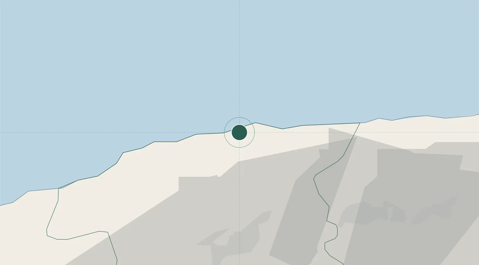
Hub Profile
Place type
Populated place
Region
Chlef
Population
29,220
Time zone
Africa/Algiers
Elevation
50 m
Location
Nearby Logistics Neighbours
Cities
- 1Chlef41 km
- 2Cherchell79 km
- 3Khemis Miliana85 km
- 4Chiffa127 km
- 5Blida134 km
Ports
- 1Mostaganem128 km
- 2Alger159 km
- 3Arzew163 km
- 4Oran197 km
- 5Dellys236 km
Airports
- 1Chlef Aboubakr Belkaid International Airport33 km
- 2Relizane Airport105 km
- 3Abdelhafid Boussouf Bou Chekif Airport131 km
- 4Blida Airport134 km
- 5Boufarik Air Base139 km
Trade Zones
- 1Depósito Franco de Alicante258 km
- 2Depósito Franco de Valencia356 km
- 3Berkane Agro-Pole372 km
- 4Melilla Autonomous Community407 km
- 5Nador WestMed Free Zone428 km
DatabookThe Record of Consolidated Knowledge
Algeria beyond logistics?