Medium airport · Algeria
Blida AirportDAAB
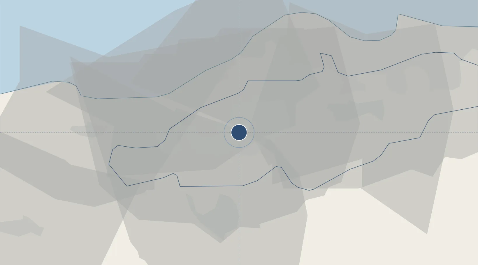
36.5036°, 2.8142°
5,833 ft
Longest runway
1
Runways
535 ft
Elevation
Runway & Layout

Runways · 1
| Runway | Dimensions | Surface | True heading | Lit |
|---|---|---|---|---|
| 06/24 | 5,833 × 150ft | Asphalt | 066° | — |
Airport Specifications
ICAO code
DAAB
Airport class
Medium airport
Scheduled service
No
Runway surface
Asphalt
Served city
Blida
Location
Nearby Logistics Neighbours
Airports
Cities
- 1Beni Mered4 km
- 2Blida4 km
- 3Chiffa9 km
- 4Hydra33 km
- 5Kouba34 km
Ports
- 1Alger37 km
- 2Dellys109 km
- 3Tenes134 km
- 4Bejaia204 km
- 5Mostaganem253 km
Trade Zones
- 1Depósito Franco de Alicante356 km
- 2Depósito Franco de Valencia427 km
- 3Berkane Agro-Pole495 km
- 4Depósito Franco de Tarragona531 km
- 5Melilla Autonomous Community535 km
DatabookThe Record of Consolidated Knowledge
Algeria beyond logistics?