Transport Functions
Multimodal
Hub Profile
Place type
Regional capital
Region
Blida
Population
331,779
Time zone
Africa/Algiers
Elevation
256 m
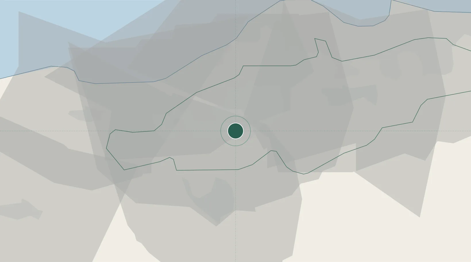
Location
Nearby Logistics Neighbours
Cities
- 1Beni Mered6 km
- 2Chiffa8 km
- 3Hydra36 km
- 4Kouba37 km
- 5El Mouradia38 km
Ports
- 1Alger40 km
- 2Dellys110 km
- 3Tenes134 km
- 4Bejaia205 km
- 5Mostaganem252 km
Airports
Trade Zones
- 1Depósito Franco de Alicante358 km
- 2Depósito Franco de Valencia431 km
- 3Berkane Agro-Pole494 km
- 4Depósito Franco de Tarragona535 km
- 5Melilla Autonomous Community535 km
DatabookThe Record of Consolidated Knowledge
Algeria beyond logistics?