Transport Functions
Port
Road
Hub Profile
Place type
Populated place
Region
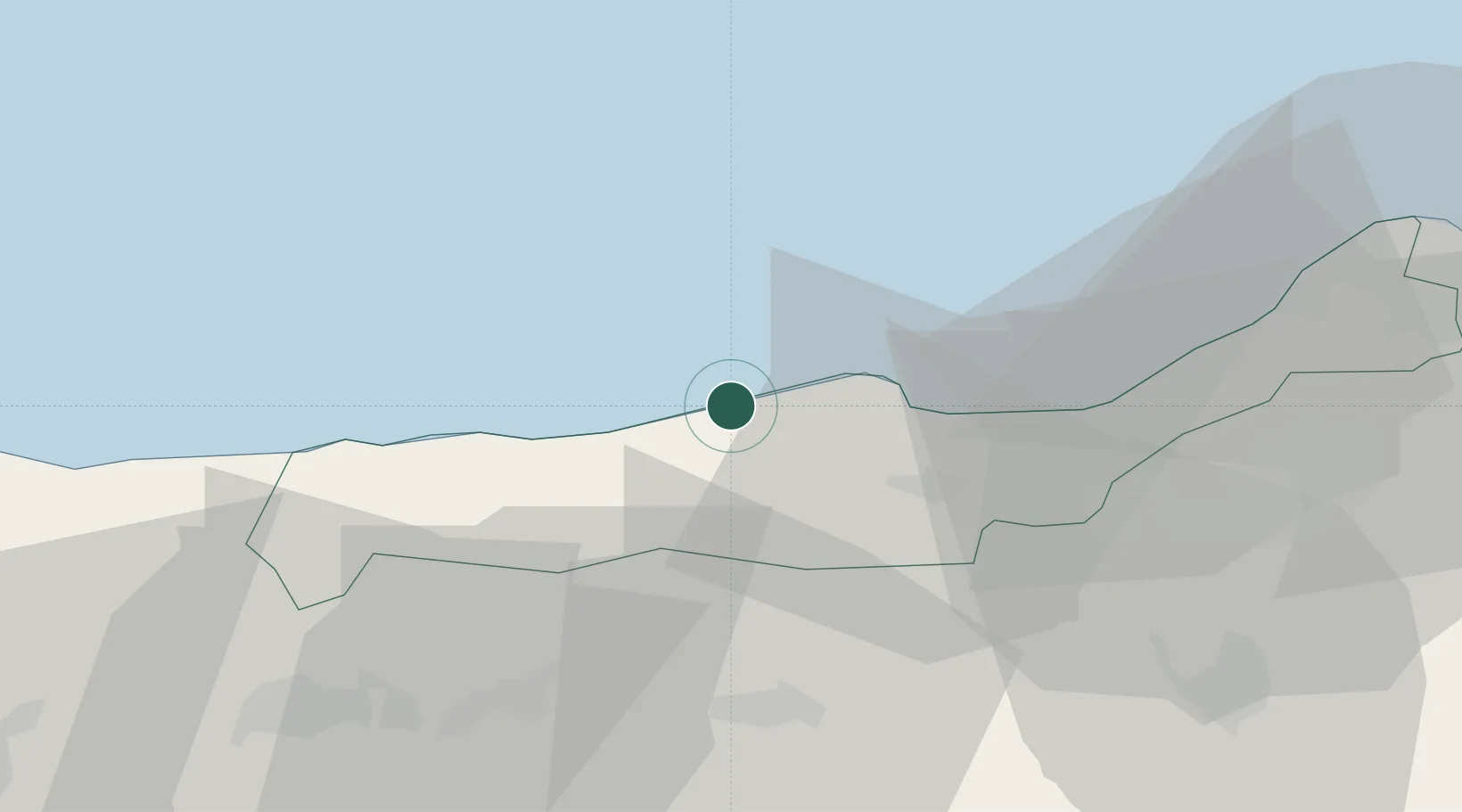
Tipaza
Population
34,372
Time zone
Africa/Algiers
Elevation
38 m
Location
Nearby Logistics Neighbours
Cities
- 1Khemis Miliana39 km
- 2Chiffa51 km
- 3Blida57 km
- 4Beni Mered59 km
- 5'Aïn Benian68 km
Ports
- 1Tenes79 km
- 2Alger80 km
- 3Dellys157 km
- 4Mostaganem204 km
- 5Arzew239 km
Airports
Trade Zones
- 1Depósito Franco de Alicante306 km
- 2Depósito Franco de Valencia386 km
- 3Berkane Agro-Pole448 km
- 4Melilla Autonomous Community485 km
- 5Nador WestMed Free Zone507 km
DatabookThe Record of Consolidated Knowledge
Algeria beyond logistics?