Seaport · Algeria
AlgerDZALG
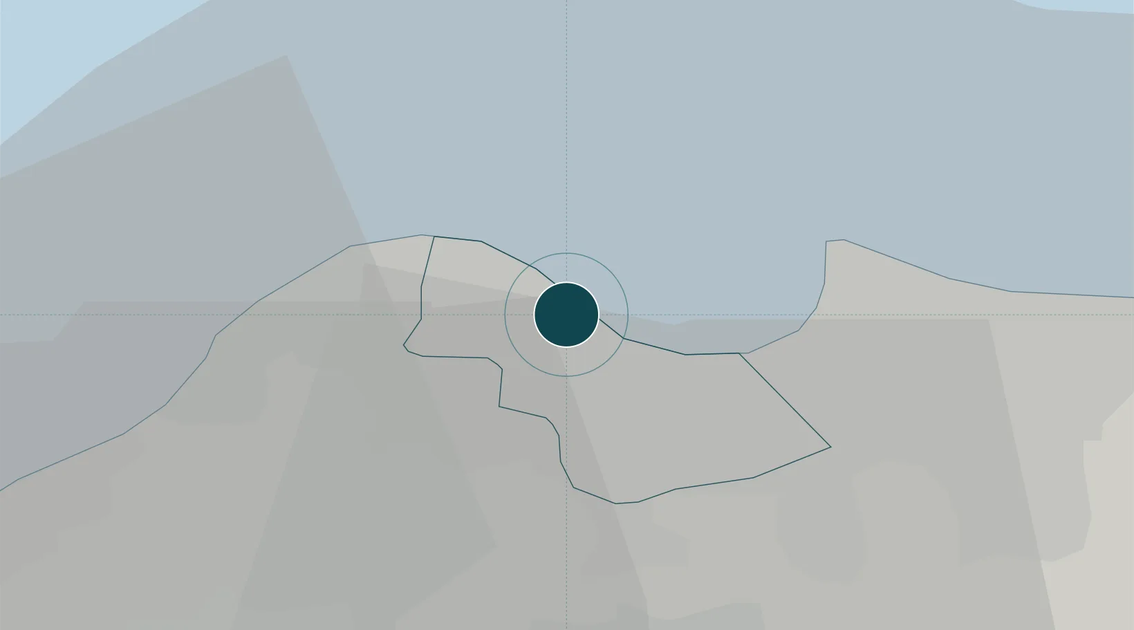
36.7667°, 3.0667°
18.6 m
Channel depth
2
Container terminals
132.3
Port liner connectivity
Channel & Berth Profile
Pilotage, Tugs & Services
Pilotage compulsoryYES
Pilotage availableYES
Pilotage advisableYES
Tug assistanceYES
Shore powerYES
Potable waterYES
Diesel bunkersYES
MedicalYES
Facilities & Capabilities
Container—
Ro-Ro—
Liquid bulk—
Dry bulk—
Oil terminal—
Break bulk—
Dry dockNO
RepairsNO
BunkeringYES
Rail linkYES
Dangerous cargo—
ISPS security—
Harbour Specifications
Harbour size
Large
Harbour type
Coastal (Breakwater)
Shelter
Excellent
Water body
Mediterranean Sea; North Atlantic Ocean
Tidal range
1 m
Pilotage
Yes
Liner Connectivity
132.3
PLSCI
Port Liner Shipping Connectivity Index for Alger, as published by UNCTAD for the latest available quarter. Higher values indicate stronger scheduled liner-shipping integration.
Shown relative to the highest per-port PLSCI in the dataset (1,657.9).
Location
Container Terminals · 2
DP WORLD DJAZAIR
DPW DP WORLD
ENTREPRISE PORTUAIRE D'ALGER (EPAL)
EPAL
Nearby Logistics Neighbours
Cities
- 1El Mouradia2 km
- 2Hydra5 km
- 3Kouba6 km
- 4'Aïn Benian14 km
- 5El Hamiz15 km
Airports
- 1Houari Boumediene Airport16 km
- 2Boufarik Air Base30 km
- 3Blida Airport37 km
- 4Chlef Aboubakr Belkaid International Airport166 km
- 5Soummam–Abane Ramdane Airport179 km
Trade Zones
- 1Depósito Franco de Alicante359 km
- 2Depósito Franco de Valencia420 km
- 3Depósito Franco de Tarragona509 km
- 4Zona Franca de Barcelona515 km
- 5Berkane Agro-Pole526 km
DatabookThe Record of Consolidated Knowledge
Algeria beyond logistics?