Transport Functions
Rail
Road
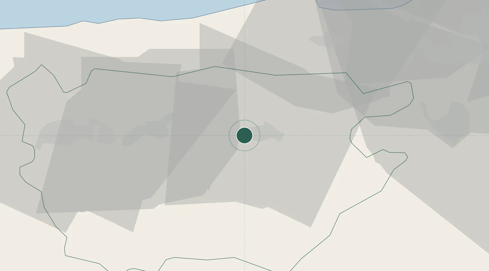
Hub Profile
Place type
Populated place
Region
Aïn Defla
Population
80,512
Time zone
Africa/Algiers
Elevation
299 m
Location
Nearby Logistics Neighbours
Cities
- 1Cherchell39 km
- 2Chiffa53 km
- 3Blida60 km
- 4Beni Mered65 km
- 5Chlef79 km
Ports
- 1Tenes85 km
- 2Alger96 km
- 3Dellys170 km
- 4Mostaganem193 km
- 5Arzew229 km
Airports
Trade Zones
- 1Depósito Franco de Alicante332 km
- 2Depósito Franco de Valencia419 km
- 3Berkane Agro-Pole434 km
- 4Melilla Autonomous Community476 km
- 5Nador WestMed Free Zone497 km
DatabookThe Record of Consolidated Knowledge
Algeria beyond logistics?