Transport Functions
Road
Multimodal
Hub Profile
Place type
Regional capital
Region
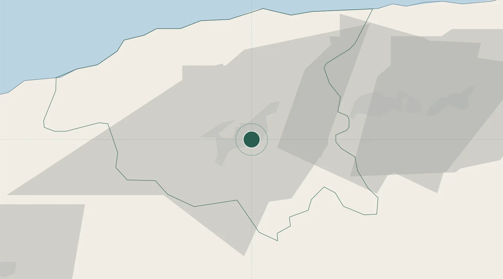
Chlef
Population
178,616
Time zone
Africa/Algiers
Elevation
116 m
Location
Nearby Logistics Neighbours
Cities
- 1Ténès41 km
- 2Khemis Miliana79 km
- 3Cherchell92 km
- 4Chiffa130 km
- 5Blida138 km
Ports
- 1Tenes43 km
- 2Mostaganem115 km
- 3Arzew151 km
- 4Alger170 km
- 5Oran184 km
Airports
Trade Zones
- 1Depósito Franco de Alicante292 km
- 2Berkane Agro-Pole357 km
- 3Depósito Franco de Valencia394 km
- 4Melilla Autonomous Community397 km
- 5Nador WestMed Free Zone419 km
DatabookThe Record of Consolidated Knowledge
Algeria beyond logistics?