Medium airport · Algeria

Boufarik Air BaseDAAK
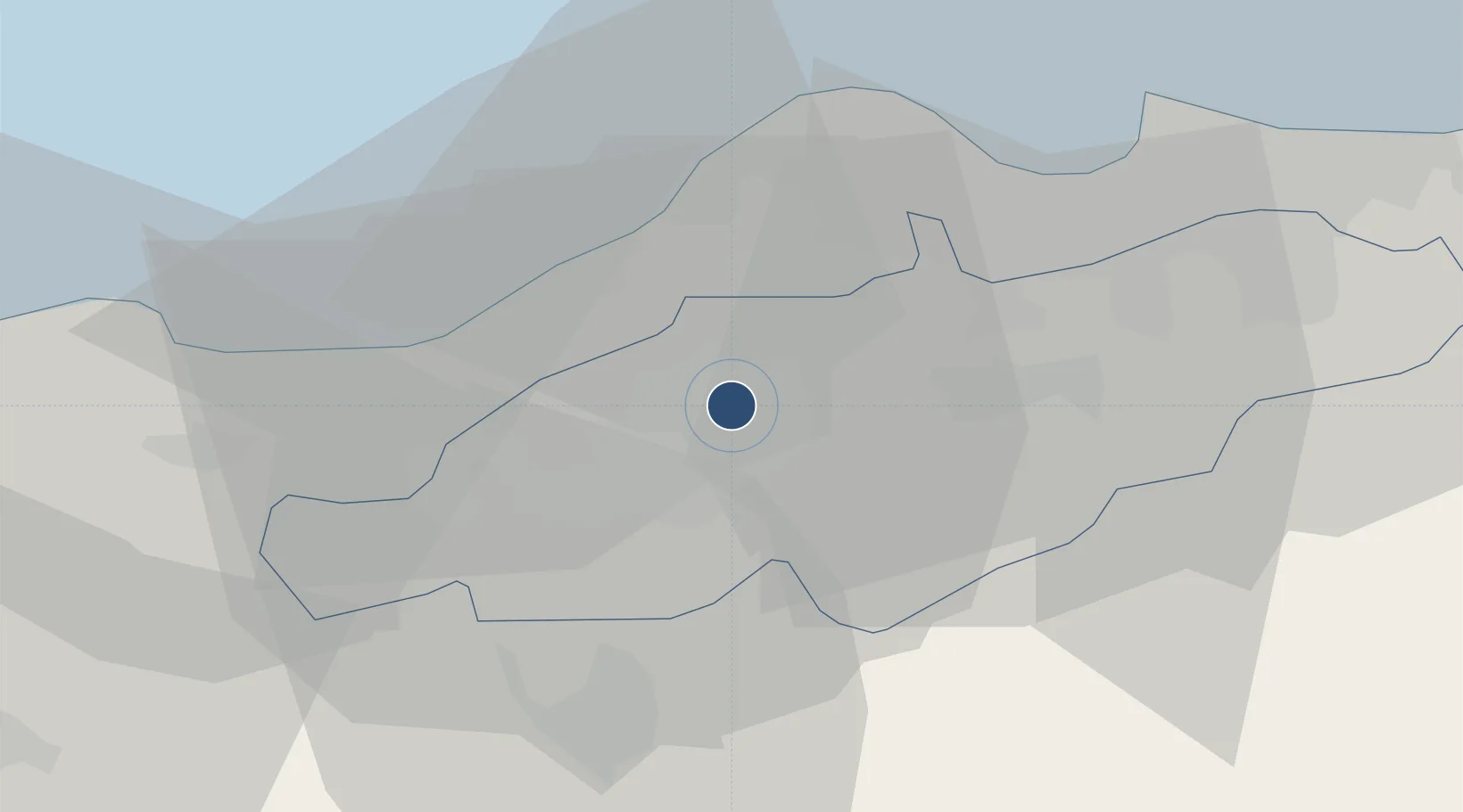
36.5458°, 2.8761°
11,883 ft
Longest runway
1
Runways
335 ft
Elevation

Runway & Layout

Boufarik Air Base runway & taxiway layout
Runway & taxiway layout — OpenStreetMap (ODbL) / OurAirports

Runways · 1

RunwayDimensions SurfaceTrue headingLit
04/22 11,883 × 148ft Concrete 044°
OurAirports

Airport Specifications

ICAO code
DAAK
OurAirports
Airport class
Medium airport
OurAirports
Scheduled service
No
OurAirports
Runway surface
Concrete
OurAirports
Served city
Boufarik
OurAirports

Location

Location of DAAK
Natural Earth 10m (public domain) · Blida · DAAK · 36.55, 2.88GoogleOSMYandex

Nearby Logistics Neighbours

Airports
  1. 1Blida Airport7 km
  2. 2Houari Boumediene Airport34 km
  3. 3Chlef Aboubakr Belkaid International Airport142 km
  4. 4Bou Saada Airport180 km
  5. 5Abdelhafid Boussouf Bou Chekif Airport185 km
Nearest neighbours — logibook spatial index (haversine) over the source coordinates
Cities
  1. 1Beni Mered4 km
  2. 2Blida10 km
  3. 3Chiffa17 km
  4. 4Hydra26 km
  5. 5Kouba27 km
Nearest neighbours — logibook spatial index (haversine) over the source coordinates
Ports
  1. 1Alger30 km
  2. 2Dellys102 km
  3. 3Tenes139 km
  4. 4Bejaia198 km
  5. 5Mostaganem260 km
Nearest neighbours — logibook spatial index (haversine) over the source coordinates
Trade Zones
  1. 1Depósito Franco de Alicante358 km
  2. 2Depósito Franco de Valencia427 km
  3. 3Berkane Agro-Pole502 km
  4. 4Depósito Franco de Tarragona527 km
  5. 5Zona Franca de Barcelona537 km
Nearest neighbours — logibook spatial index (haversine) over the source coordinates
DatabookThe Record of Consolidated Knowledge
Algeria beyond logistics?
Browse databook

All Sources

AirportsOurAirports
Public domain
Portsthe NGA World Port Index
Public domain (US gov)
LocationsUN/LOCODE
UN/LOCODE — free
Trade Zonesthe World Bank SEZ database
CC BY 4.0
Trade ZonesOpen Zone Map
CC BY
InfrastructureOpenStreetMap
ODbL 1.0
← Algeria airports