Medium airport · Algeria

Laghouat - Molay Ahmed Medeghri AirportDAUL
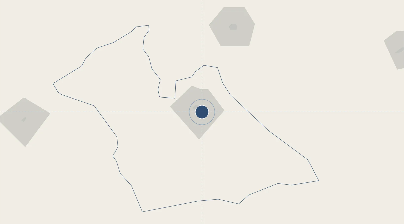
33.7644°, 2.9283°
12,486 ft
Longest runway
2
Runways
2,510 ft
Elevation

Runway & Layout

Laghouat - Molay Ahmed Medeghri Airport runway & taxiway layout
Runway & taxiway layout — OpenStreetMap (ODbL) / OurAirports

Runways · 2

RunwayDimensions SurfaceTrue headingLit
16L/34R 12,486 × 148ft Asphalt 157°
16R/34L 12,477 × 148ft Asphalt 157°
OurAirports

Airport Specifications

IATA code
LOO
OurAirports
ICAO code
DAUL
OurAirports
Airport class
Medium airport
OurAirports
Scheduled service
No
OurAirports
Runway surface
Asphalt
OurAirports
Served city
Laghouat
OurAirports

Location

Location of DAUL
Natural Earth 10m (public domain) · Laghouat · DAUL · 33.76, 2.93GoogleOSMYandex

Nearby Logistics Neighbours

Airports
  1. 1Hassi R'Mel Airport99 km
  2. 2Noumérat - Moufdi Zakaria Airport173 km
  3. 3Bou Saada Airport210 km
  4. 4Abdelhafid Boussouf Bou Chekif Airport221 km
  5. 5Biskra - Mohamed Khider Airport282 km
Nearest neighbours — logibook spatial index (haversine) over the source coordinates
Cities
  1. 1Ghardaïa158 km
  2. 2El Merdja281 km
  3. 3Khemis Miliana284 km
  4. 4Chiffa299 km
  5. 5Corinth300 km
Nearest neighbours — logibook spatial index (haversine) over the source coordinates
Ports
  1. 1Alger334 km
  2. 2Tenes341 km
  3. 3Mostaganem354 km
  4. 4Dellys362 km
  5. 5Arzew375 km
Nearest neighbours — logibook spatial index (haversine) over the source coordinates
Trade Zones
  1. 1Berkane Agro-Pole500 km
  2. 2Melilla Autonomous Community564 km
  3. 3Nador WestMed Free Zone582 km
  4. 4Depósito Franco de Alicante594 km
  5. 5Ait Kamra Economic Activity Zone652 km
Nearest neighbours — logibook spatial index (haversine) over the source coordinates
DatabookThe Record of Consolidated Knowledge
Algeria beyond logistics?
Browse databook

All Sources

AirportsOurAirports
Public domain
Portsthe NGA World Port Index
Public domain (US gov)
LocationsUN/LOCODE
UN/LOCODE — free
Trade Zonesthe World Bank SEZ database
CC BY 4.0
Trade ZonesOpen Zone Map
CC BY
InfrastructureOpenStreetMap
ODbL 1.0
← Algeria airports