UN/LOCODE hub · Denmark
DKRDK

Rødekro

55.0667°, 9.3167°
3
Transport functions

Transport Functions

Port
Rail
Road
UN/LOCODE

Location

Location of DKRDK
Natural Earth 10m (public domain) · Syddanmark · DKRDK · 55.07, 9.32GoogleOSMYandex

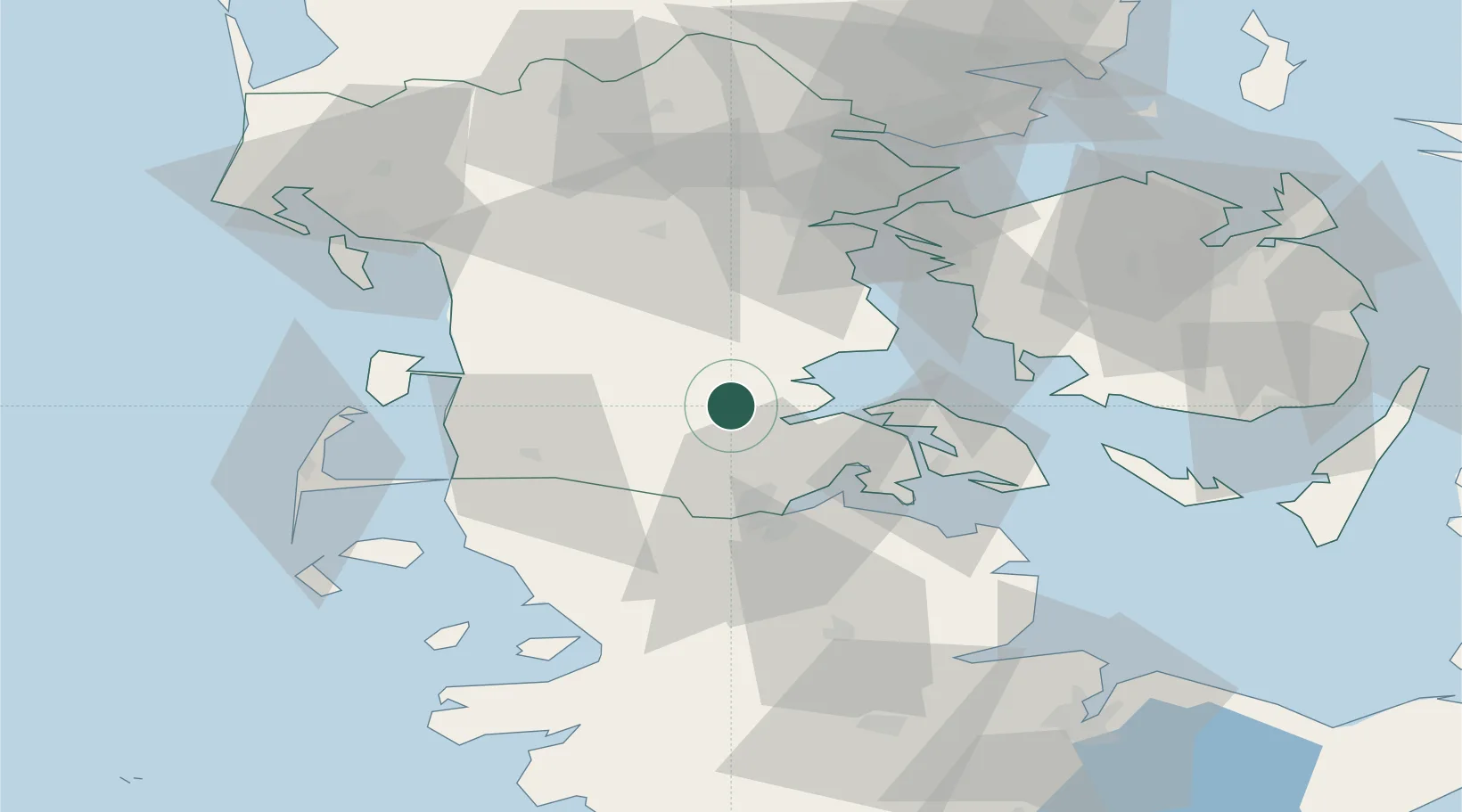
Nearby Logistics Neighbours

Cities
  1. 1Åbenrå8 km
  2. 2Enstedværket Havn9 km
  3. 3Styrtom9 km
  4. 4Padborg28 km
  5. 5Glücksburg30 km
Nearest neighbours — logibook spatial index (haversine) over the source coordinates
Ports
  1. 1Abenra8 km
  2. 2Ensted9 km
  3. 3Haderslev24 km
  4. 4Flensburg31 km
  5. 5Sonderborg34 km
Nearest neighbours — logibook spatial index (haversine) over the source coordinates
Airports
  1. 1Skrydstrup Air Base18 km
  2. 2Sønderborg Airport32 km
  3. 3Kolding Vamdrup Airfield41 km
  4. 4Westerland Sylt Airport65 km
  5. 5Schleswig Air Base69 km
Nearest neighbours — logibook spatial index (haversine) over the source coordinates
Trade Zones
  1. 1Freeport of Kiel98 km
  2. 2Freeport of Cuxhaven (Freihafen Cuxhaven)146 km
  3. 3Freeport of Copenhagen- Nordhavn220 km
  4. 4Freeport of Bremerhaven (Freihafen Bremerhaven)222 km
  5. 5Freeport of Emden237 km
Nearest neighbours — logibook spatial index (haversine) over the source coordinates
DatabookThe Record of Consolidated Knowledge
Denmark beyond logistics?
Browse databook

All Sources

LocationsUN/LOCODE
UN/LOCODE — free
Portsthe NGA World Port Index
Public domain (US gov)
AirportsOurAirports
Public domain
Trade Zonesthe World Bank SEZ database
CC BY 4.0
Trade ZonesOpen Zone Map
CC BY
← Denmark locations