UN/LOCODE hub · Denmark
DKAAB

Åbenrå

55.0333°, 9.4333°
2
Transport functions

Transport Functions

Port
Road
Åbenrå is also a profiled seaport →
UN/LOCODE

Hub Profile

Region
83
GeoNames

Location

Location of DKAAB
Natural Earth 10m (public domain) · 83 · DKAAB · 55.03, 9.43GoogleOSMYandex

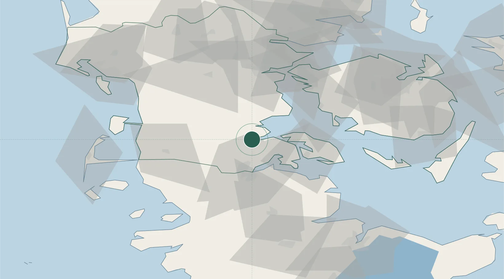
Nearby Logistics Neighbours

Cities
  1. 1Enstedværket Havn2 km
  2. 2Styrtom2 km
  3. 3Rødekro8 km
  4. 4Glücksburg24 km
  5. 5Padborg25 km
Nearest neighbours — logibook spatial index (haversine) over the source coordinates
Ports
  1. 1Ensted2 km
  2. 2Haderslev25 km
  3. 3Sonderborg26 km
  4. 4Flensburg26 km
  5. 5Augustenborg29 km
Nearest neighbours — logibook spatial index (haversine) over the source coordinates
Airports
  1. 1Skrydstrup Air Base23 km
  2. 2Sønderborg Airport24 km
  3. 3Kolding Vamdrup Airfield45 km
  4. 4Schleswig Air Base64 km
  5. 5Ærø Airfield68 km
Nearest neighbours — logibook spatial index (haversine) over the source coordinates
Trade Zones
  1. 1Freeport of Kiel91 km
  2. 2Freeport of Cuxhaven (Freihafen Cuxhaven)146 km
  3. 3Freeport of Copenhagen- Nordhavn214 km
  4. 4Freeport of Bremerhaven (Freihafen Bremerhaven)220 km
  5. 5Freeport of Emden239 km
Nearest neighbours — logibook spatial index (haversine) over the source coordinates
DatabookThe Record of Consolidated Knowledge
Denmark beyond logistics?
Browse databook

All Sources

LocationsUN/LOCODE
UN/LOCODE — free
Portsthe NGA World Port Index
Public domain (US gov)
AirportsOurAirports
Public domain
Trade Zonesthe World Bank SEZ database
CC BY 4.0
Trade ZonesOpen Zone Map
CC BY
← Denmark locations