Transport Functions
Multimodal
Hub Profile
Place type
Populated place
Region
Central Jutland
Time zone
Europe/Copenhagen
Elevation
11 m
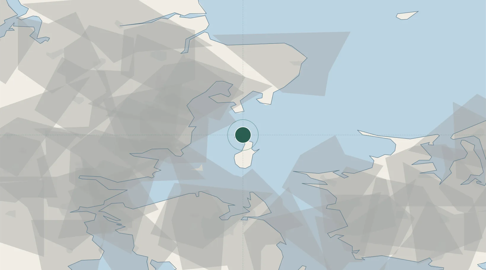
Location
Nearby Logistics Neighbours
Ports
- 1Arhus30 km
- 2Studstrup34 km
- 3Kalundborg46 km
- 4Horsens46 km
- 5Grenaa Havn55 km
Airports
- 1Aarhus Seaplane Terminal29 km
- 2Aarhus Airport38 km
- 3Odense Hans Christian Andersen Airport57 km
- 4Billund Airport92 km
- 5Kolding Vamdrup Airfield97 km
Trade Zones
DatabookThe Record of Consolidated Knowledge
Denmark beyond logistics?