Transport Functions
Port
Hub Profile
Place type
Populated place
Region
Central Jutland
Time zone
Europe/Copenhagen
Elevation
4 m
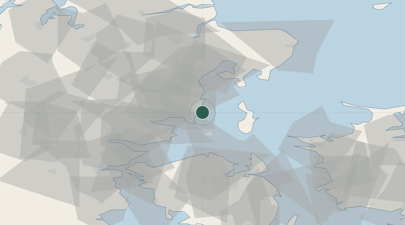
Location
Nearby Logistics Neighbours
Ports
- 1Horsens26 km
- 2Arhus26 km
- 3Studstrup38 km
- 4Vejle49 km
- 5Fredericia49 km
Airports
- 1Aarhus Seaplane Terminal26 km
- 2Aarhus Airport49 km
- 3Odense Hans Christian Andersen Airport49 km
- 4Billund Airport71 km
- 5Kolding Vamdrup Airfield79 km
Trade Zones
DatabookThe Record of Consolidated Knowledge
Denmark beyond logistics?