Seaport · Denmark
KalundborgDKKAL
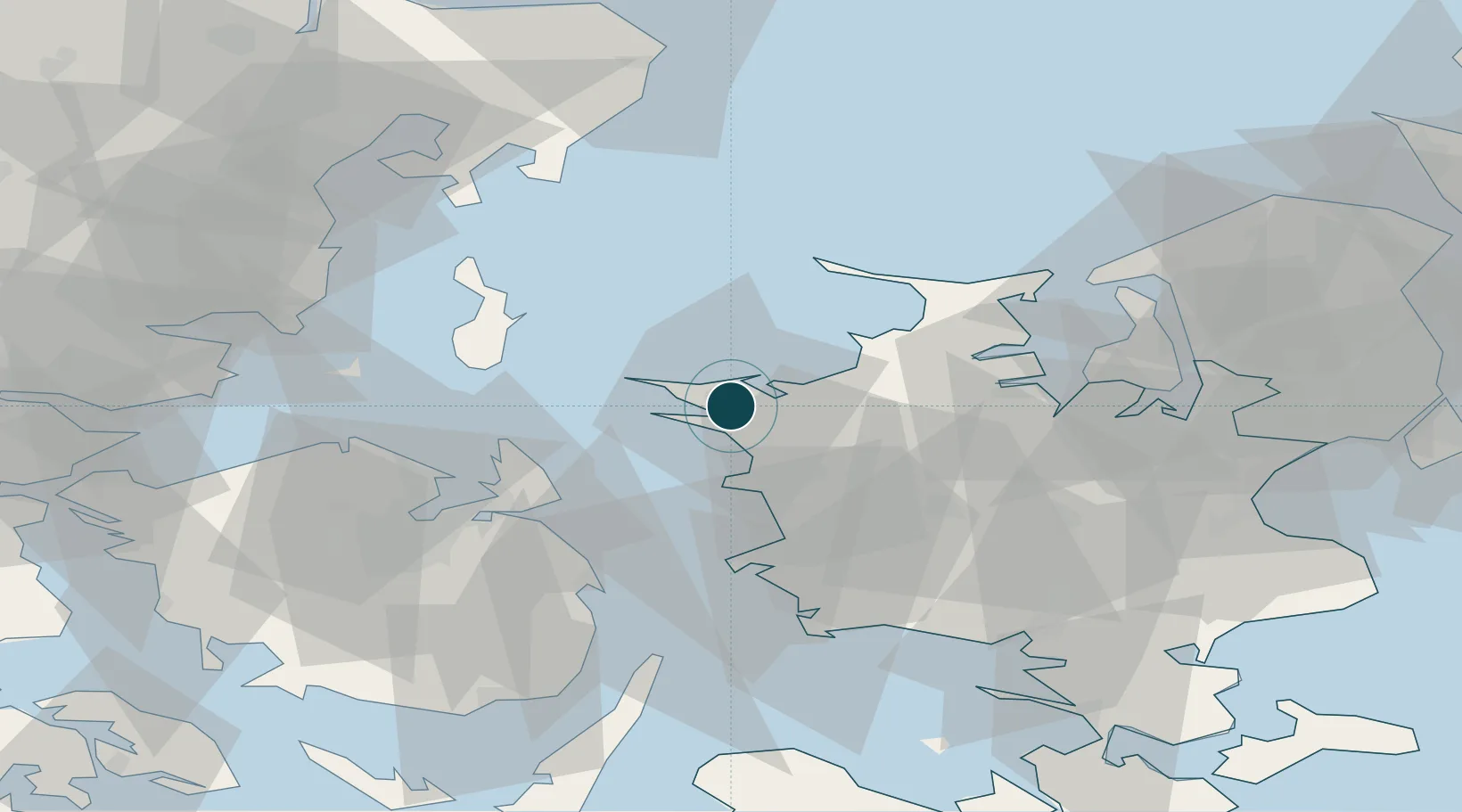
55.6833°, 11.1000°
12.5 m
Channel depth
2
Container terminals
11.8
Port liner connectivity
Channel & Berth Profile
Pilotage, Tugs & Services
Pilotage compulsoryYES
Pilotage availableYES
Pilotage advisableYES
Local assistanceYES
Tug assistanceYES
Salvage tugsYES
Potable waterYES
Diesel bunkersYES
MedicalYES
Garbage disposalYES
Facilities & Capabilities
ContainerYES
Ro-RoYES
Liquid bulkYES
Dry bulkYES
Oil terminalNO
Break bulkYES
Dry dock—
RepairsNO
BunkeringYES
Rail linkYES
Dangerous cargo—
ISPS security—
Harbour Specifications
Harbour size
Small
Harbour type
Coastal (Breakwater)
Shelter
Good
Water body
Kattegat; North Atlantic Ocean
Tidal range
1 m
Pilotage
Yes
Liner Connectivity
11.8
PLSCI
Port Liner Shipping Connectivity Index for Kalundborg, as published by UNCTAD for the latest available quarter. Higher values indicate stronger scheduled liner-shipping integration.
Shown relative to the highest per-port PLSCI in the dataset (1,657.9).
Location
Container Terminals · 2
APM TERMINALS KALUNDBORG
APMT
KALUNDBORG CONTAINER TERMINAL
DKKAL
Nearby Logistics Neighbours
Ports
- 1Kerteminde38 km
- 2Holbaek39 km
- 3Korsor39 km
- 4Nyborg45 km
- 5Skaelskor50 km
Cities
- 1Svebølle12 km
- 2Store Fuglede15 km
- 3Gislinge28 km
- 4Dianalund30 km
- 5Grævinge31 km
Airports
- 1Ringsted Airfield53 km
- 2Odense Hans Christian Andersen Airport54 km
- 3Copenhagen Roskilde Airport66 km
- 4Aarhus Seaplane Terminal74 km
- 5Aarhus Airport75 km
Trade Zones
DatabookThe Record of Consolidated Knowledge
Denmark beyond logistics?