Transport Functions
Port
Hub Profile
Place type
Populated place
Region
Central Jutland
Time zone
Europe/Copenhagen
Elevation
7 m
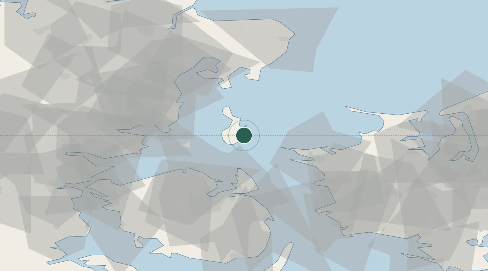
Location
Nearby Logistics Neighbours
Cities
- 1Kolby Kås7 km
- 2Nordby18 km
- 3Hov27 km
- 4Kalundborg32 km
- 5Rude33 km
Ports
- 1Kalundborg32 km
- 2Kerteminde41 km
- 3Arhus46 km
- 4Odense48 km
- 5Horsens50 km
Airports
- 1Odense Hans Christian Andersen Airport43 km
- 2Aarhus Seaplane Terminal45 km
- 3Aarhus Airport54 km
- 4Ringsted Airfield85 km
- 5Sydfyn (Tasinge) Airfield89 km
Trade Zones
DatabookThe Record of Consolidated Knowledge
Denmark beyond logistics?