Transport Functions
Port
Hub Profile
Place type
Populated place
Region
Central Jutland
Time zone
Europe/Copenhagen
Elevation
9 m
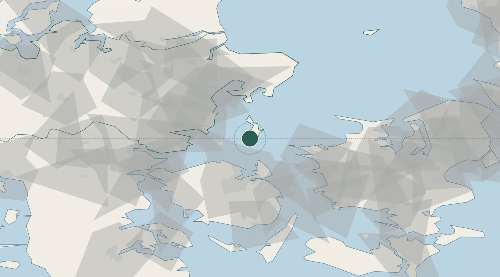
Location
Nearby Logistics Neighbours
Cities
- 1Ballen7 km
- 2Nordby19 km
- 3Hov23 km
- 4Rude30 km
- 5Juelsminde35 km
Ports
- 1Kalundborg37 km
- 2Kerteminde40 km
- 3Odense44 km
- 4Arhus44 km
- 5Horsens44 km
Airports
Trade Zones
DatabookThe Record of Consolidated Knowledge
Denmark beyond logistics?