Transport Functions
Port
Hub Profile
Place type
Populated place
Region
Central Jutland
Population
3,667
Time zone
Europe/Copenhagen
Elevation
2 m
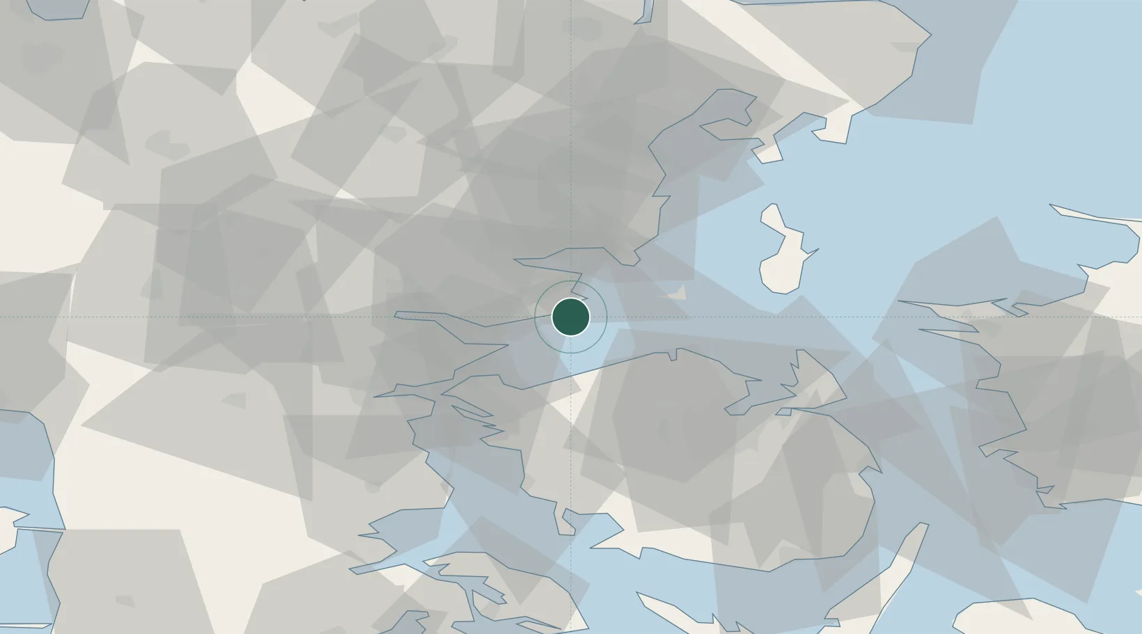
Location
Nearby Logistics Neighbours
Cities
- 1Barrit8 km
- 2Bogense15 km
- 3Brejning21 km
- 4Fredericia25 km
- 5Hovedgård28 km
Ports
- 1Horsens21 km
- 2Fredericia22 km
- 3Middelfart29 km
- 4Vejle29 km
- 5Skaerbaek32 km
Airports
- 1Odense Hans Christian Andersen Airport32 km
- 2Kolding Vamdrup Airfield52 km
- 3Aarhus Seaplane Terminal52 km
- 4Billund Airport54 km
- 5Skrydstrup Air Base71 km
Trade Zones
DatabookThe Record of Consolidated Knowledge
Denmark beyond logistics?