Transport Functions
Port
Road
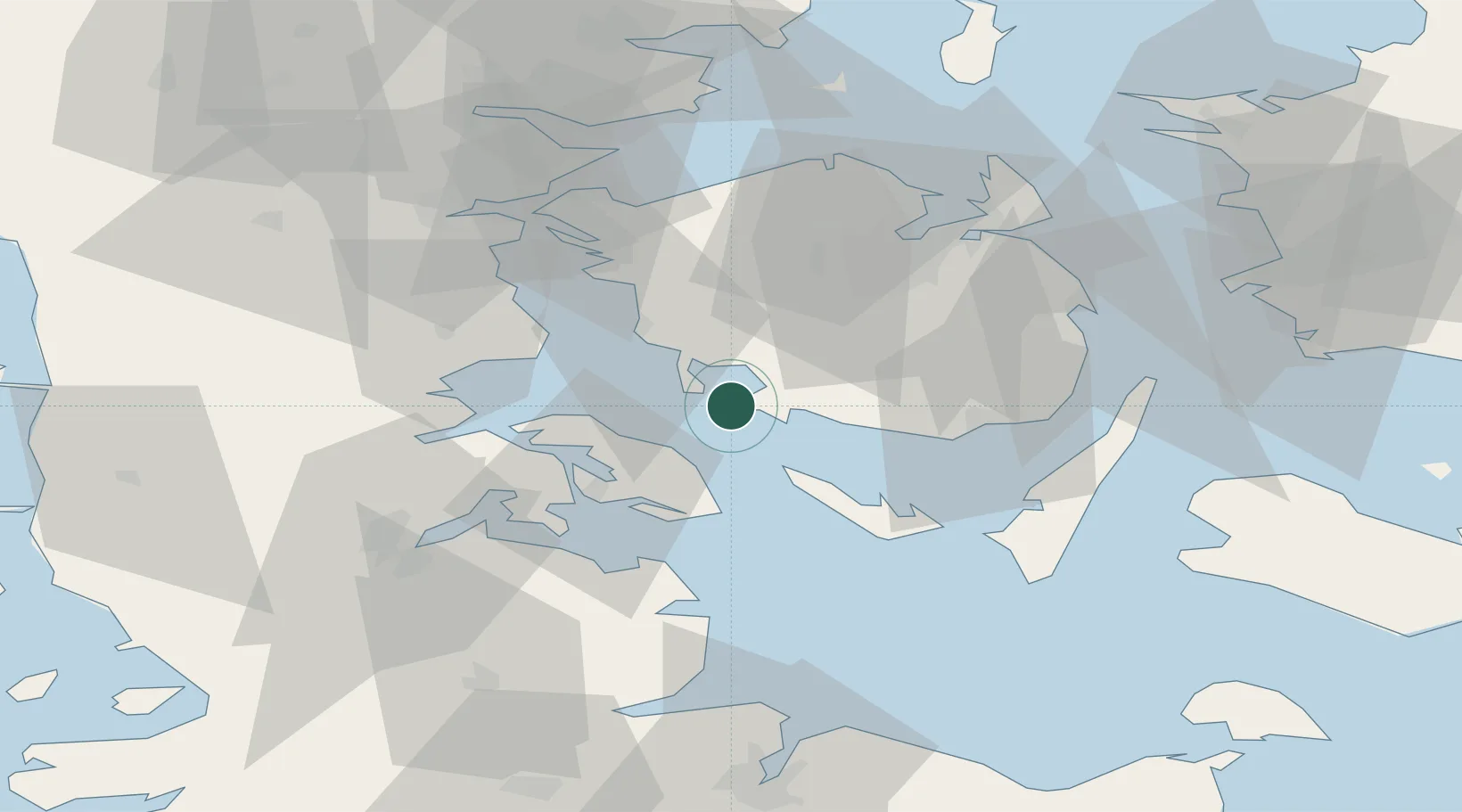
Location
Nearby Logistics Neighbours
Cities
- 1Avernak By14 km
- 2Ebberup17 km
- 3Fynshav17 km
- 4Brobyvark18 km
- 5Søllested22 km
Ports
- 1Faborg11 km
- 2Augustenborg22 km
- 3Assens23 km
- 4Marstal26 km
- 5Sonderborg28 km
Airports
- 1Sønderborg Airport24 km
- 2Sydfyn (Tasinge) Airfield32 km
- 3Ærø Airfield36 km
- 4Odense Hans Christian Andersen Airport45 km
- 5Skrydstrup Air Base54 km
Trade Zones
DatabookThe Record of Consolidated Knowledge
Denmark beyond logistics?