Transport Functions
Port
Hub Profile
Place type
Populated place
Region
South Denmark
Time zone
Europe/Copenhagen
Elevation
6 m
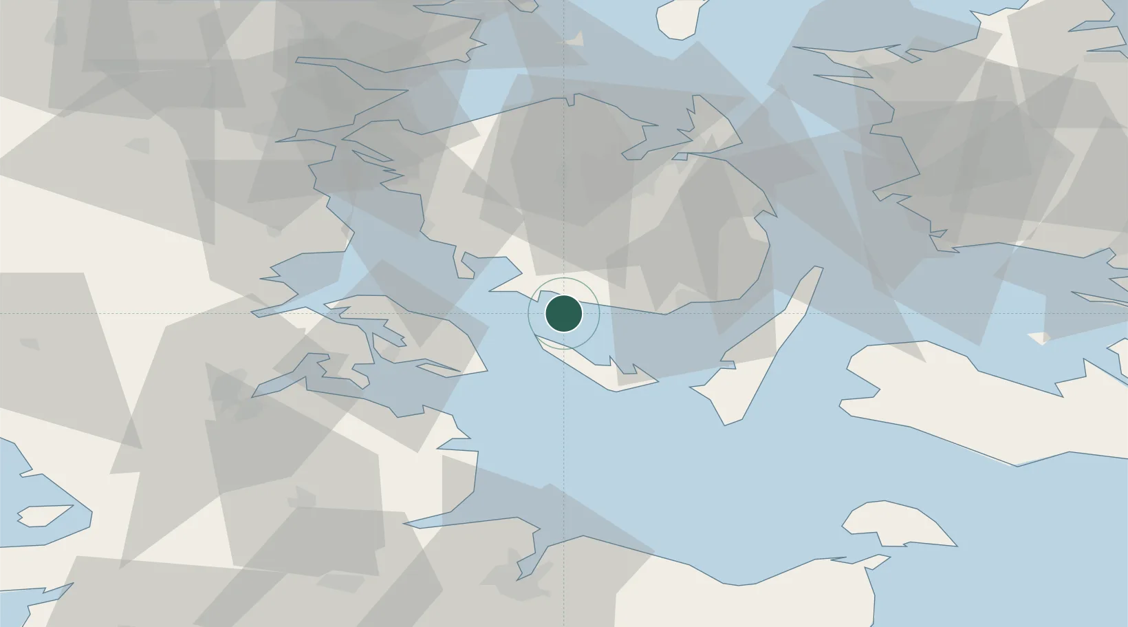
Location
Nearby Logistics Neighbours
Ports
- 1Faborg8 km
- 2Marstal14 km
- 3Svendborg23 km
- 4Augustenborg27 km
- 5Rudkobing30 km
Airports
- 1Sydfyn (Tasinge) Airfield19 km
- 2Ærø Airfield23 km
- 3Sønderborg Airport31 km
- 4Odense Hans Christian Andersen Airport49 km
- 5Skrydstrup Air Base67 km
Trade Zones
DatabookThe Record of Consolidated Knowledge
Denmark beyond logistics?