Transport Functions
Port
Road
Hub Profile
Place type
Populated place
Region
South Denmark
Time zone
Europe/Copenhagen
Elevation
14 m
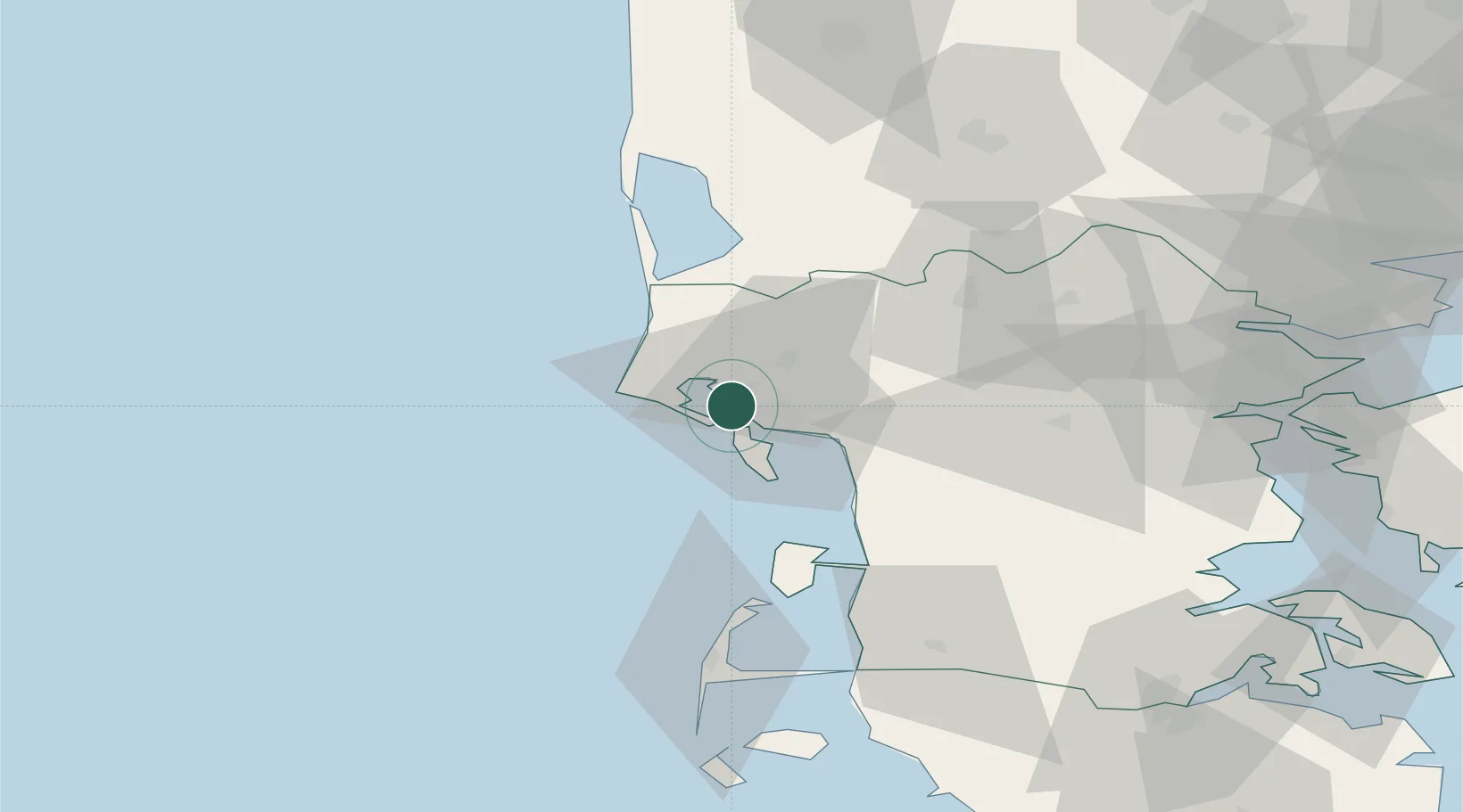
Location
Nearby Logistics Neighbours
Ports
- 1Esbjerg8 km
- 2Ringkobing63 km
- 3Kolding72 km
- 4Haderslev78 km
- 5Vejle78 km
Airports
- 1Esbjerg Airport12 km
- 2Stauning Vestjylland Airport53 km
- 3Billund Airport56 km
- 4Kolding Vamdrup Airfield61 km
- 5Skrydstrup Air Base66 km
Trade Zones
DatabookThe Record of Consolidated Knowledge
Denmark beyond logistics?