Transport Functions
Port
Multimodal
Hub Profile
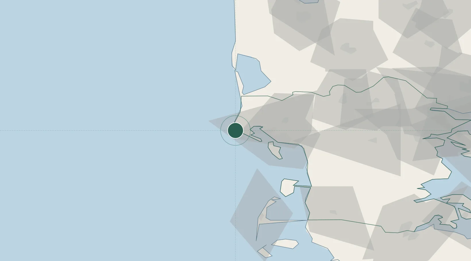
Place type
Populated place
Region
South Denmark
Time zone
Europe/Copenhagen
Elevation
7 m
Location
Nearby Logistics Neighbours
Ports
- 1Esbjerg22 km
- 2Ringkobing60 km
- 3Kolding86 km
- 4Vejle91 km
- 5Haderslev93 km
Airports
- 1Esbjerg Airport27 km
- 2Stauning Vestjylland Airport51 km
- 3Billund Airport68 km
- 4Westerland Sylt Airport72 km
- 5Kolding Vamdrup Airfield77 km
Trade Zones
DatabookThe Record of Consolidated Knowledge
Denmark beyond logistics?