Transport Functions
Multimodal
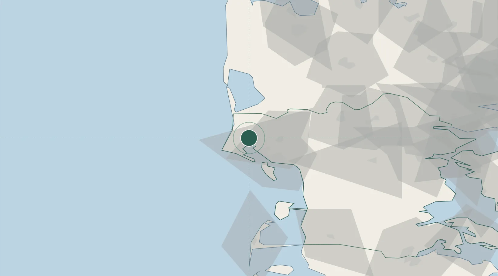
Hub Profile
Place type
Populated place
Region
South Denmark
Population
2,815
Time zone
Europe/Copenhagen
Elevation
16 m
Location
Nearby Logistics Neighbours
Ports
- 1Esbjerg21 km
- 2Ringkobing50 km
- 3Kolding78 km
- 4Vejle80 km
- 5Skaerbaek85 km
Airports
- 1Esbjerg Airport21 km
- 2Stauning Vestjylland Airport40 km
- 3Billund Airport56 km
- 4Kolding Vamdrup Airfield70 km
- 5Skrydstrup Air Base77 km
Trade Zones
DatabookThe Record of Consolidated Knowledge
Denmark beyond logistics?