Transport Functions
Multimodal
Hub Profile
Region
MV
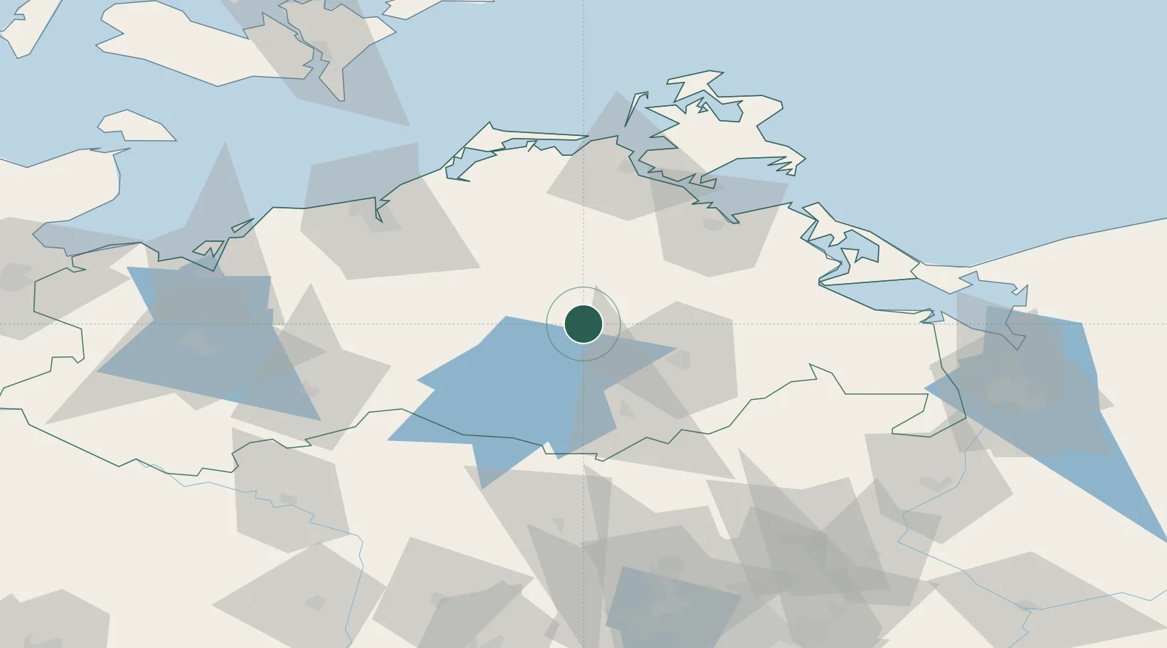
Location
Nearby Logistics Neighbours
Cities
- 1Dargun21 km
- 2Dahmen22 km
- 3Moltzow22 km
- 4Altentreptow23 km
- 5Teterow23 km
Ports
- 1Rostock67 km
- 2Wolgast70 km
- 3Stralsund70 km
- 4Swinoujscie93 km
- 5Wismar97 km
Airports
Trade Zones
- 1Swinoujscie Duty Free Zone93 km
- 2Szczecin Duty Free Zone115 km
- 3Kostrzyń-Słubice SEZ169 km
- 4Freeport of Kiel192 km
- 5MTS Malmö Transport and Spedition212 km
DatabookThe Record of Consolidated Knowledge
Germany beyond logistics?