Transport Functions
Multimodal
Hub Profile
Place type
Populated place
Region
Mecklenburg-Vorpommern
Population
621
Time zone
Europe/Berlin
Elevation
13 m
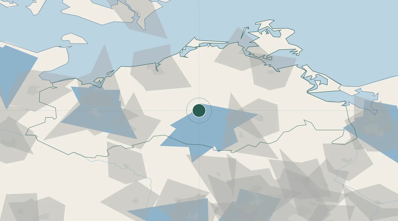
Location
Nearby Logistics Neighbours
Cities
- 1Moltzow2 km
- 2Teterow13 km
- 3Kuchelmiss14 km
- 4Reuterstadt Stavenhagen22 km
- 5Malchow23 km
Ports
- 1Rostock58 km
- 2Wismar79 km
- 3Stralsund82 km
- 4Wolgast90 km
- 5Swinoujscie115 km
Airports
- 1Rostock-Laage Airport36 km
- 2Neubrandenburg Trollenhagen Airport48 km
- 3Heringsdorf Airport106 km
- 4Lübeck Blankensee Airport124 km
- 5Lolland Falster Maribo Airport139 km
Trade Zones
- 1Swinoujscie Duty Free Zone115 km
- 2Szczecin Duty Free Zone134 km
- 3Freeport of Kiel175 km
- 4Kostrzyń-Słubice SEZ180 km
- 5MTS Malmö Transport and Spedition220 km
DatabookThe Record of Consolidated Knowledge
Germany beyond logistics?