Transport Functions
Multimodal
Hub Profile
Place type
Populated place
Region
Mecklenburg-Vorpommern
Population
359
Time zone
Europe/Berlin
Elevation
61 m
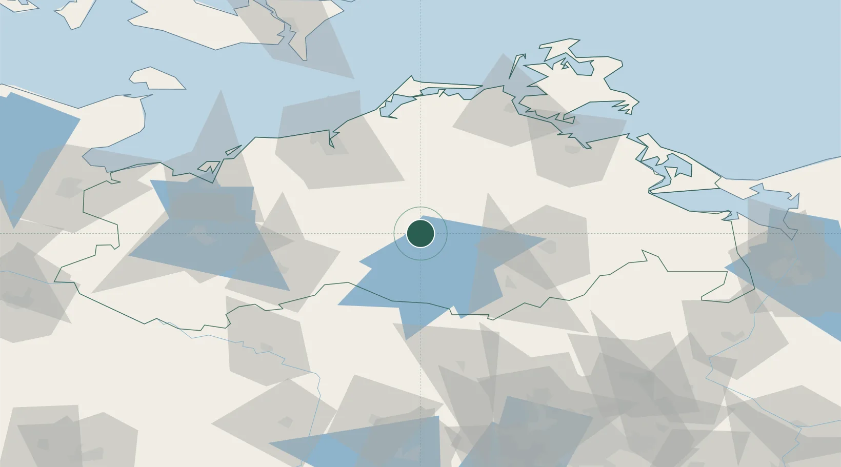
Location
Nearby Logistics Neighbours
Cities
- 1Dahmen2 km
- 2Kuchelmiss15 km
- 3Teterow15 km
- 4Malchow22 km
- 5Reuterstadt Stavenhagen22 km
Ports
- 1Rostock60 km
- 2Wismar79 km
- 3Stralsund83 km
- 4Wolgast91 km
- 5Swinoujscie115 km
Airports
- 1Rostock-Laage Airport38 km
- 2Neubrandenburg Trollenhagen Airport48 km
- 3Heringsdorf Airport107 km
- 4Lübeck Blankensee Airport124 km
- 5Lolland Falster Maribo Airport140 km
Trade Zones
- 1Swinoujscie Duty Free Zone115 km
- 2Szczecin Duty Free Zone134 km
- 3Freeport of Kiel176 km
- 4Kostrzyń-Słubice SEZ179 km
- 5MTS Malmö Transport and Spedition222 km
DatabookThe Record of Consolidated Knowledge
Germany beyond logistics?