Transport Functions
Multimodal
Hub Profile
Place type
Local administrative seat
Region
Mecklenburg-Vorpommern
Population
6,486
Time zone
Europe/Berlin
Elevation
10 m
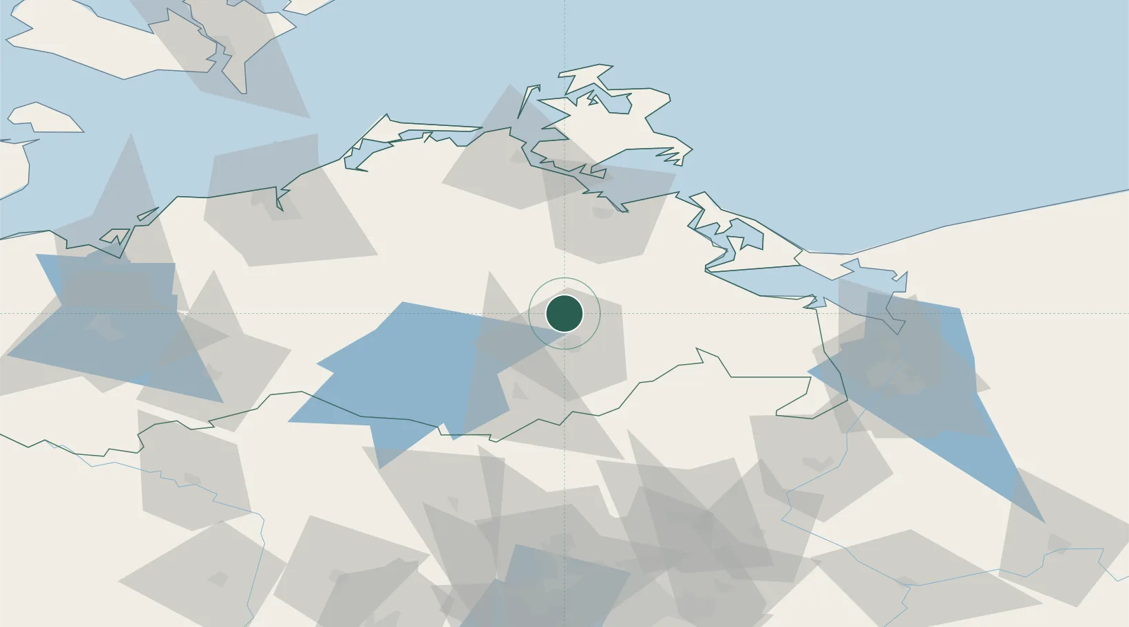
Location
Nearby Logistics Neighbours
Cities
- 1Trollenhagen10 km
- 2Friedland20 km
- 3Rowa22 km
- 4Reuterstadt Stavenhagen23 km
- 5Demmin28 km
Ports
- 1Wolgast54 km
- 2Stralsund71 km
- 3Swinoujscie72 km
- 4Rostock87 km
- 5Police88 km
Airports
Trade Zones
- 1Swinoujscie Duty Free Zone71 km
- 2Szczecin Duty Free Zone92 km
- 3Kostrzyń-Słubice SEZ152 km
- 4Freeport of Kiel214 km
- 5MTS Malmö Transport and Spedition214 km
DatabookThe Record of Consolidated Knowledge
Germany beyond logistics?