Transport Functions
Multimodal
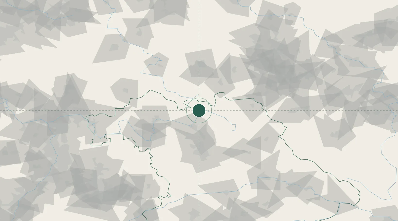
Hub Profile
Place type
Populated place
Region
Bavaria
Time zone
Europe/Berlin
Elevation
291 m
Location
Nearby Logistics Neighbours
Cities
- 1Niederfüllbach2 km
- 2Grossheirath5 km
- 3Kösten6 km
- 4Dörfles-Esbach7 km
- 5Sesslach10 km
Airports
- 1Bamberg-Breitenau Airfield32 km
- 2Bayreuth Airport53 km
- 3Hof-Plauen Airport63 km
- 4Nuremberg Airport78 km
- 5Erfurt-Weimar Airport87 km
Trade Zones
- 1Podbořany Industrial Zone172 km
- 2Žatec - Triangle Strategic Industrial Zone182 km
- 3Most - Joseph Industrial Zone191 km
- 4Freeport of Deggendorf205 km
- 5ZFU Neuhof297 km
DatabookThe Record of Consolidated Knowledge
Germany beyond logistics?