Transport Functions
Port
Road
Hub Profile
Region
BY
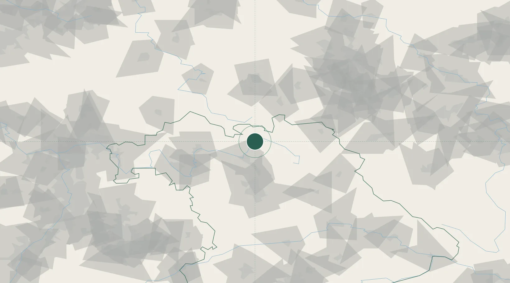
Location
Nearby Logistics Neighbours
Cities
- 1Meschenbach6 km
- 2Grossheirath6 km
- 3Niederfüllbach8 km
- 4Itzgrund9 km
- 5Hochstadt am Main11 km
Airports
- 1Bamberg-Breitenau Airfield27 km
- 2Bayreuth Airport48 km
- 3Hof-Plauen Airport62 km
- 4Nuremberg Airport73 km
- 5Grafenwöhr Army Air Field83 km
Trade Zones
- 1Podbořany Industrial Zone170 km
- 2Žatec - Triangle Strategic Industrial Zone180 km
- 3Most - Joseph Industrial Zone190 km
- 4Freeport of Deggendorf199 km
- 5ZFU Neuhof296 km
DatabookThe Record of Consolidated Knowledge
Germany beyond logistics?